

The Conavalla and Camenabologue hike is certainly a tough one. We completed this c. 19km trek in April 2025. The two peaks form part of my 40 highest mountains challenge. Given their proximity to each other, we climbed the two mountains on the same outing. While I found it tough going, it felt great completing two high peaks in the one day.
The Conavalla and Camenbologue hike is essentially centred around a Y junction. We walked 4.5km to get to the junction point. Once there, we turned right and upwards to the top of Conavalla. Then back to the junction and took the other turn for Camenabologue. We climbed to the top of Camenabologue and then turned and went back the way we came.
So if you feel tackling both Conavalla and Camenabologue is a bit too much, this article will still help you if you just want to complete one of them. My recommendation would be to prioritise Camenabologue over Conavalla.
Safety Notice:
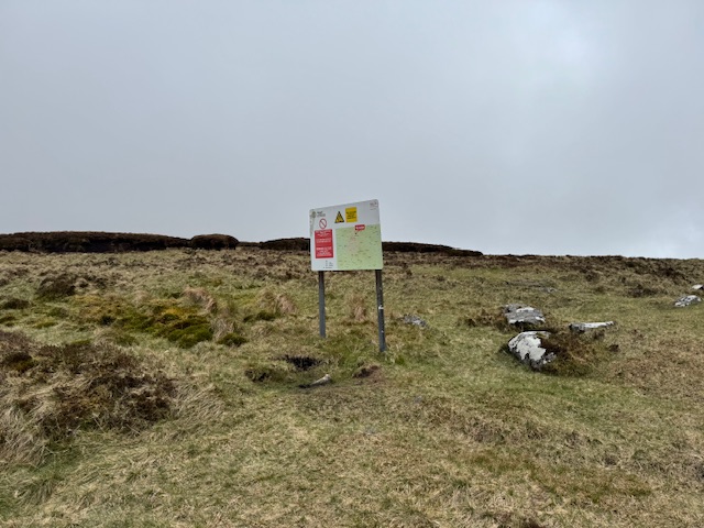
The Camenabologue trail overlooks the Glen of Imaal, which is an active live firing range for the Irish Army. Please be very careful not to wander into restricted areas. Please see the military.ie website which provides further detail and guidance.
Conavalla and Camenabologue Hike Details
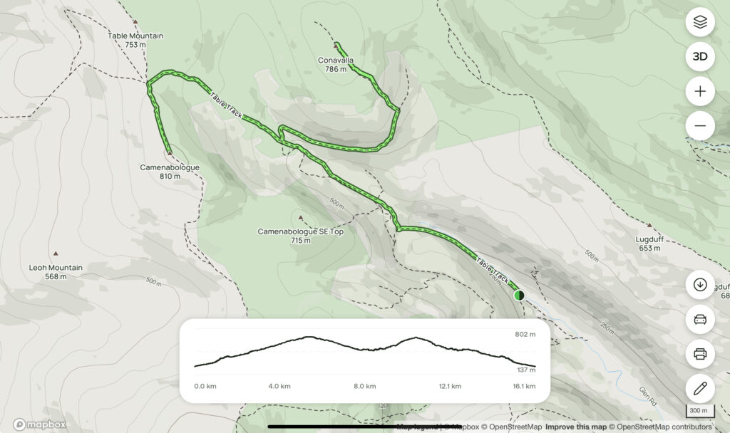
- Distance: 19km
- Time Required: 6 hours but very much dependent on your own pace.
- Elevation Gain: 857m
- Grade: Difficult. You will be climbing two of Ireland’s highest mountains across a 6hr/19km hike – a good level of fitness is definitely required.
The Conavalla and Camenabologue Mountains
Conavalla
At 734m, Conavalla is the 39th tallest mountain in Ireland. A lot of people will say that’s about all it has going for it. The flat topped summit is somewhat nondescript however does offer nice views. You will more than likely have the whole mountain to yourself for this one.
Camenabologue
Camabalogoe stands slightly taller than her sister mountain at 758m – making it the 31st highest mountain in Ireland. The route up to the top has the advantage of being much more straightforward too. Check out how to do it below!
Getting There
We started our hike at the Baravore Car Park located in the beautiful Glenmalure Valley. Unfortunately (and unsurprisingly given the remoteness of the area), the only real way to get here is to drive.
The car park is quite large and we had no problem finding a space here on a nice Sunday morning. As with everything, it does of course get busier in the Summer months.
The Conavalla and Camenabologue Hike Route
I used the below alltrails map for completing the hike. Just to note that the map actually gives details from the old Glenmalure Hostel (closed at the time of writing) rather than Baravore Car Park which adds another few kilometres to the trail distance – the distance to the hostel from the car park is either 1.5km via the Old Mine Path or a shorter 1km if you simply follow the most direct route along the gravel path to the hostel.
Starting the Conavalla and Camenabologue Hike
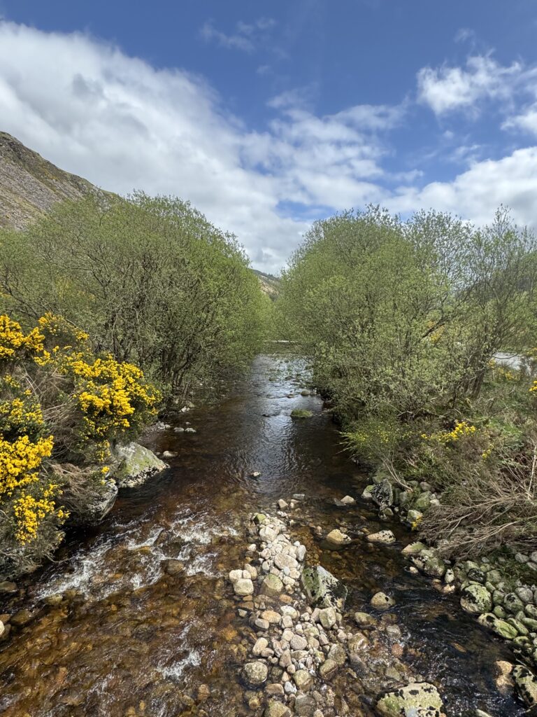
My cousin David joined me for this hike and we set out at 8am on a cloudy but dry Sunday morning. We crossed the Avonbeg River and turned right.
You have a simple 1km walk along the gravel path to reach Glenmalure Hostel. However, we decided to detour slightly and take a quick left up through the forest along the Mine Path. The highlight of this option is getting to see the ruins of the old mine crusher building. The building being the most visible reminder of a short lived silver and lead mining company from the mid 1800’s.
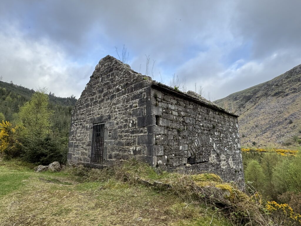
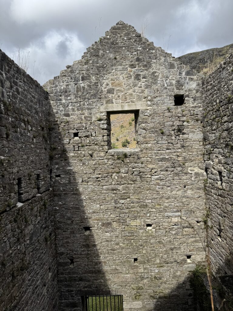
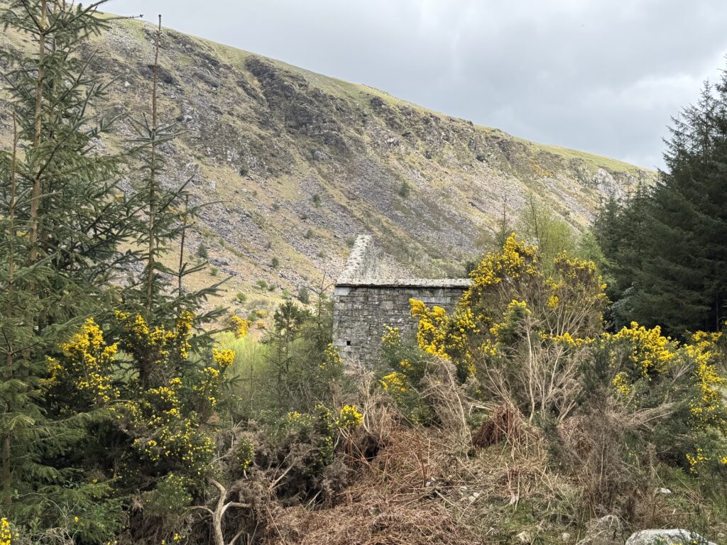
Table Track
We turned right on reaching a gravel forestry road and headed downhill towards Table Track which initially runs alongside the Avonbeg River before heading up to Table Mountain (702m).
While we wouldn’t be climbing Table Mountain, we would be following Table Track for a few kilometres up to the Y junction.
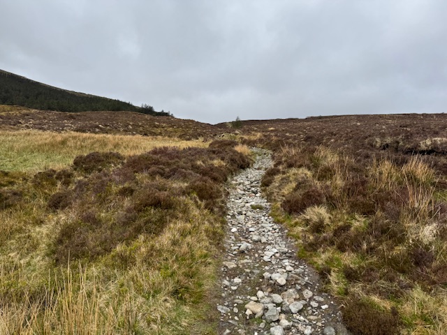
While the route can be difficult to walk on in places, we found it easy to follow at least. The difficulty with the trail is the fact that the gravel road quickly gives way to a rocky pavement before narrowing significantly.
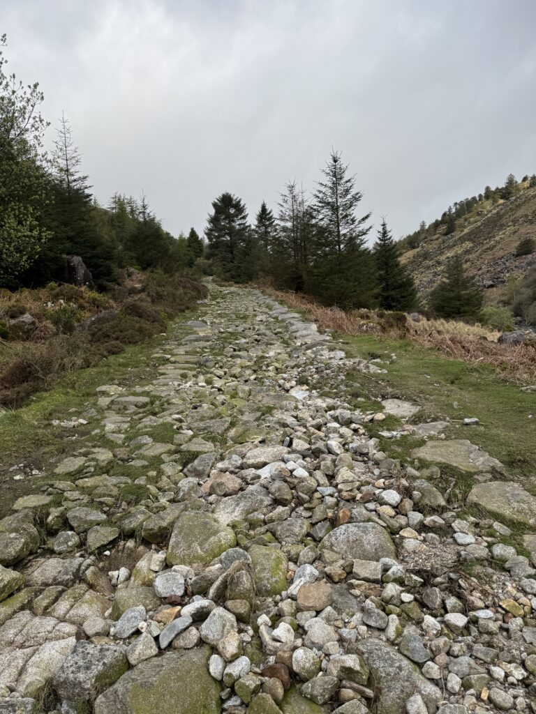
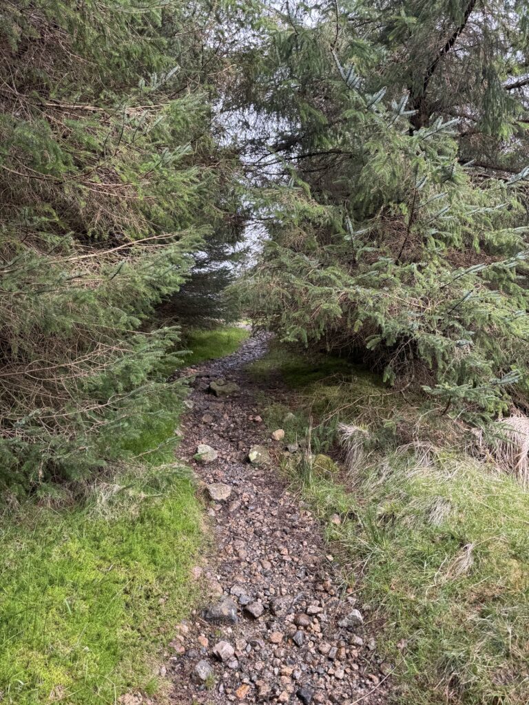
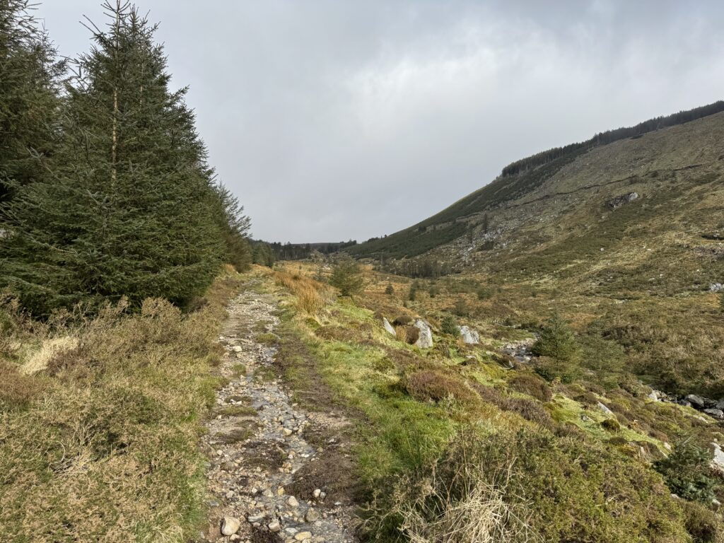
We also needed to cross a couple of tricky little streams – one via logs roughly bridging the water and the other via stepping stones in the water. I find these little things really add to the sense of fun and adventure of the hike.
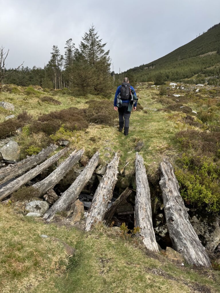
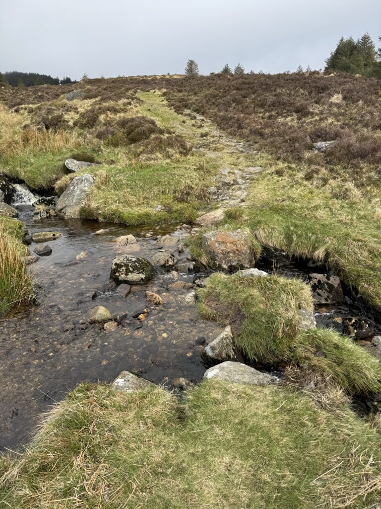
Overall, we really enjoyed this section of the hike – the gentle slopes and nice views back along the valley being the main reasons.
Crossing the Valley
After about 4.5km of walking, we reached the Y junction. We noted the path for Camenabologue but instead stayed right and moved across the floor of the valley. Soon we were again crossing the Avonbeg river.
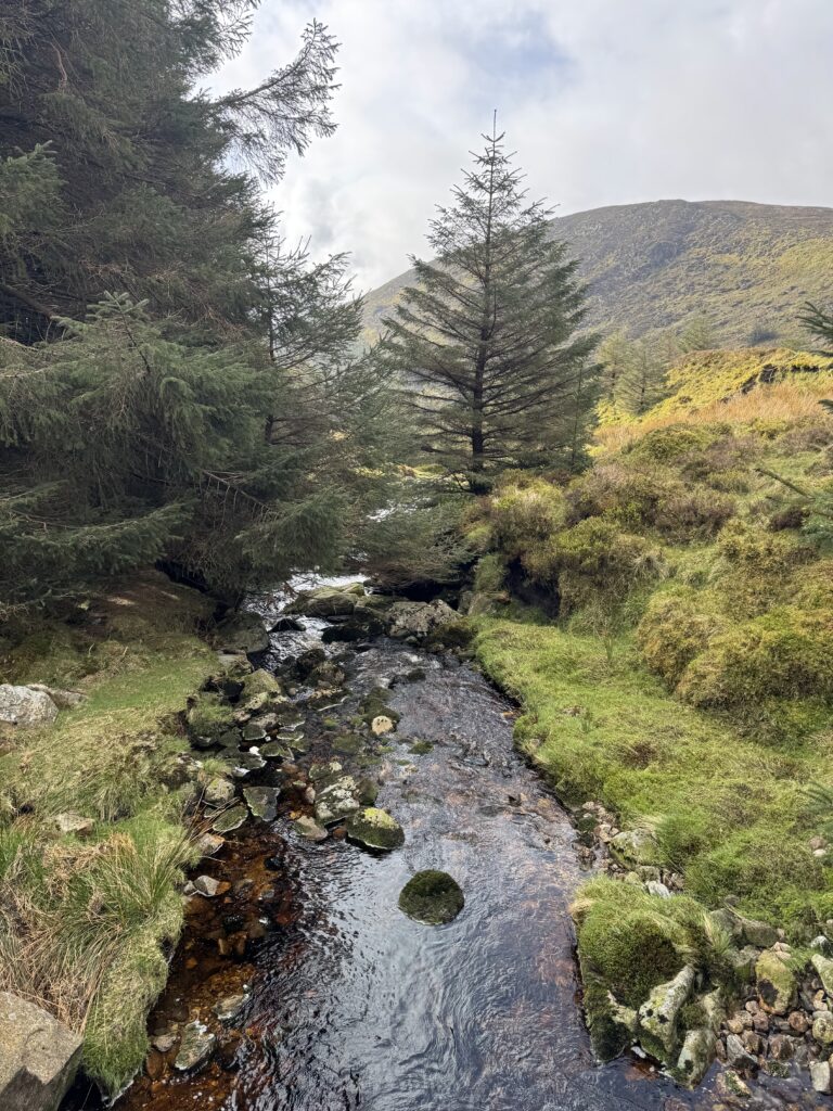
We were back on gravel tracks again with this one swinging sharply around to the right.
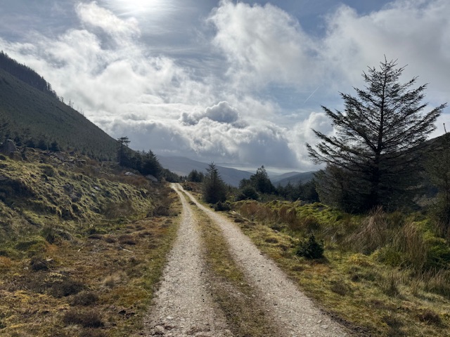
Towards Conavalla
To summit Conavalla we needed to circle around to the south-east side of the mountain before striking upwards. The nice gravel path ended at around the 5.5km point. We needed to get through a huge puddle on the other side of the turning circle that marked the end of the road. This would prove to be a sign of things to come for the next stage of the trail. I found the next 500m or so to be very wet and boggy.
Despite the soft ground, we made good progress. David has a good knack of finding the driest route through damp stretches of land. As such, I just followed him.
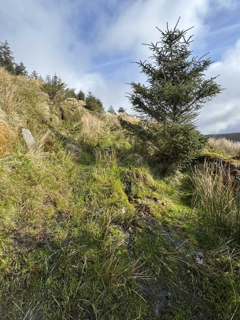
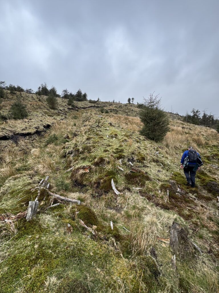
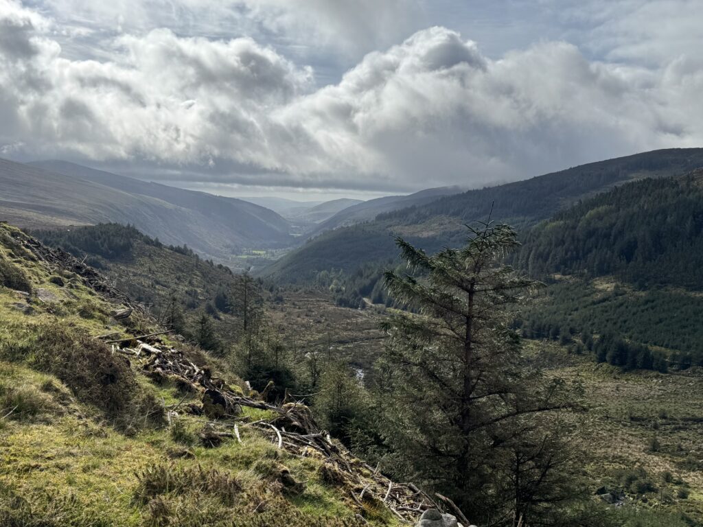
At the 6km mark we turned sharply to the left. Although much steeper now, the ground beneath us became drier. We picked our way upwards. Unfortunately, as we moved up, we got further and further into the clouds.
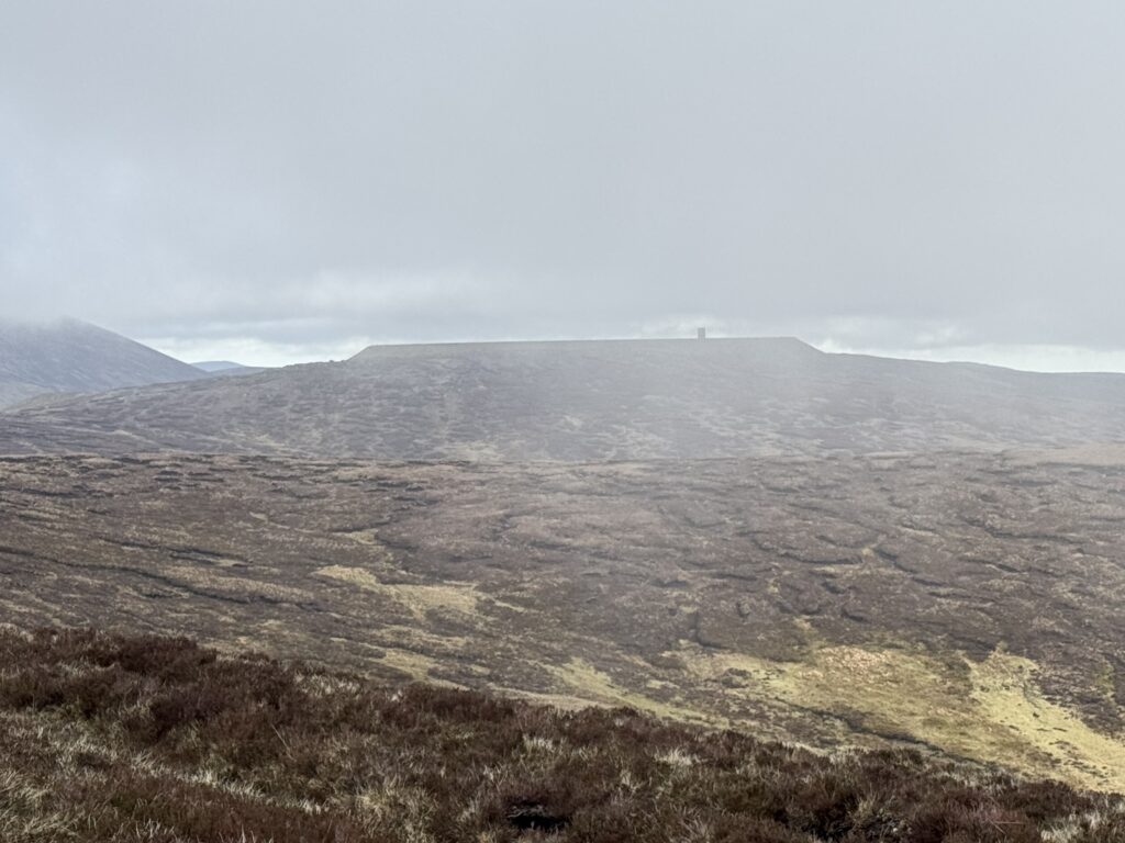
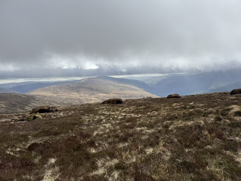
The broad top of Conavalla is not the most exciting mountain summit. Especially so when your view is obscured by clouds. We did get to spot some nice views back down the valley and across to the ESB power station at Turlough Hill though.
Back Downhill
Given the above, we didn’t spend too long on the summit of Conavalla. We retraced our steps, stopping for a quick cup of tea once we got back down under the cloud cover a bit.
We made good progress going downhill and reached the Y junction again after about 10km of walking. Completing this distance took just under 3.5 hours. Next up was Camenabologue.
Towards Camenabologue
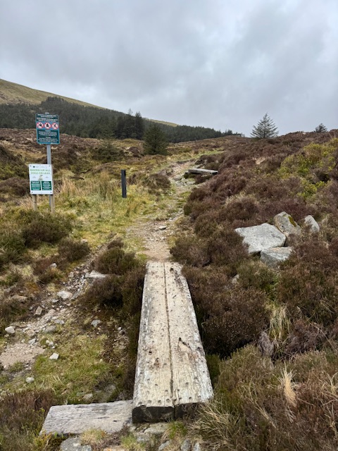
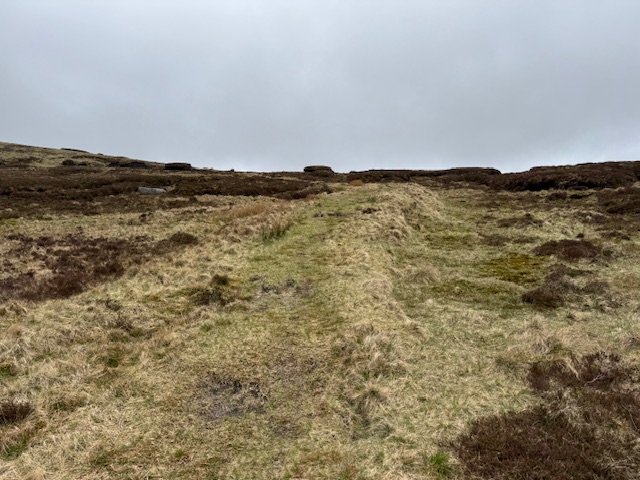
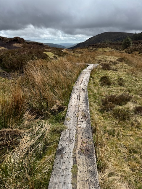
The route to the top if Camenabologue proved straightforward enough. Indeed, we actually just needed to head straight in a northwesterly direction for about 1.5km. The trail alternated between earthen and well trod grassy paths with the odd boardwalk too. We continued along the trail’s gentle incline with Camenabologue on our left.
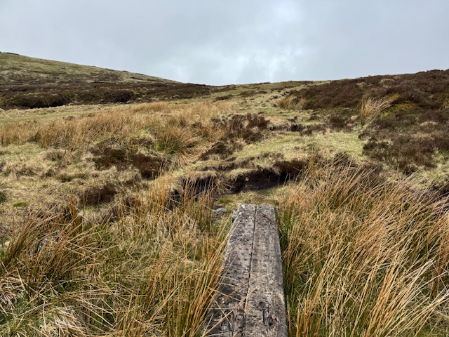
Just after the 12km mark, we came to an information sign about the Glen of Imaal firing range. Turning right here would lead you to Table Mountain. Straight ahead is through the Glen of Imaal (see above warnings about this). We needed to go left and travel the last kilometre or so to reach the top of Camenabologue.
The Top of Camenabologue
Again the trail southwards was easy to follow and we reached the small cairn that marks the summit of Camenabologue just after noon.
With another of Ireland’s highest mountains in the bag we set out for home.

Back to Baravore
We took shelter from the mountain breeze near the army sign and stopped for lunch. After that, we kept a good pace for the return leg of the journey.
On reaching the Y junction, you have an option to turn right and keep to the forestry road. While this will lead you back to Baravore Car Park, it does add an extra couple of kilometres to the walk. You will walk past a nice waterfall with option.
However, I think I would recommend walking back the way you came as the views of Glenmalure Valley are less obstructed by the trees.
If you are looking for a nice long walk along quiet trails, then the Conavalla and Camenabologue definitely is a good choice. Just be prepared for an arduous journey! I really felt the full 19km by the time we got back to the car park.