
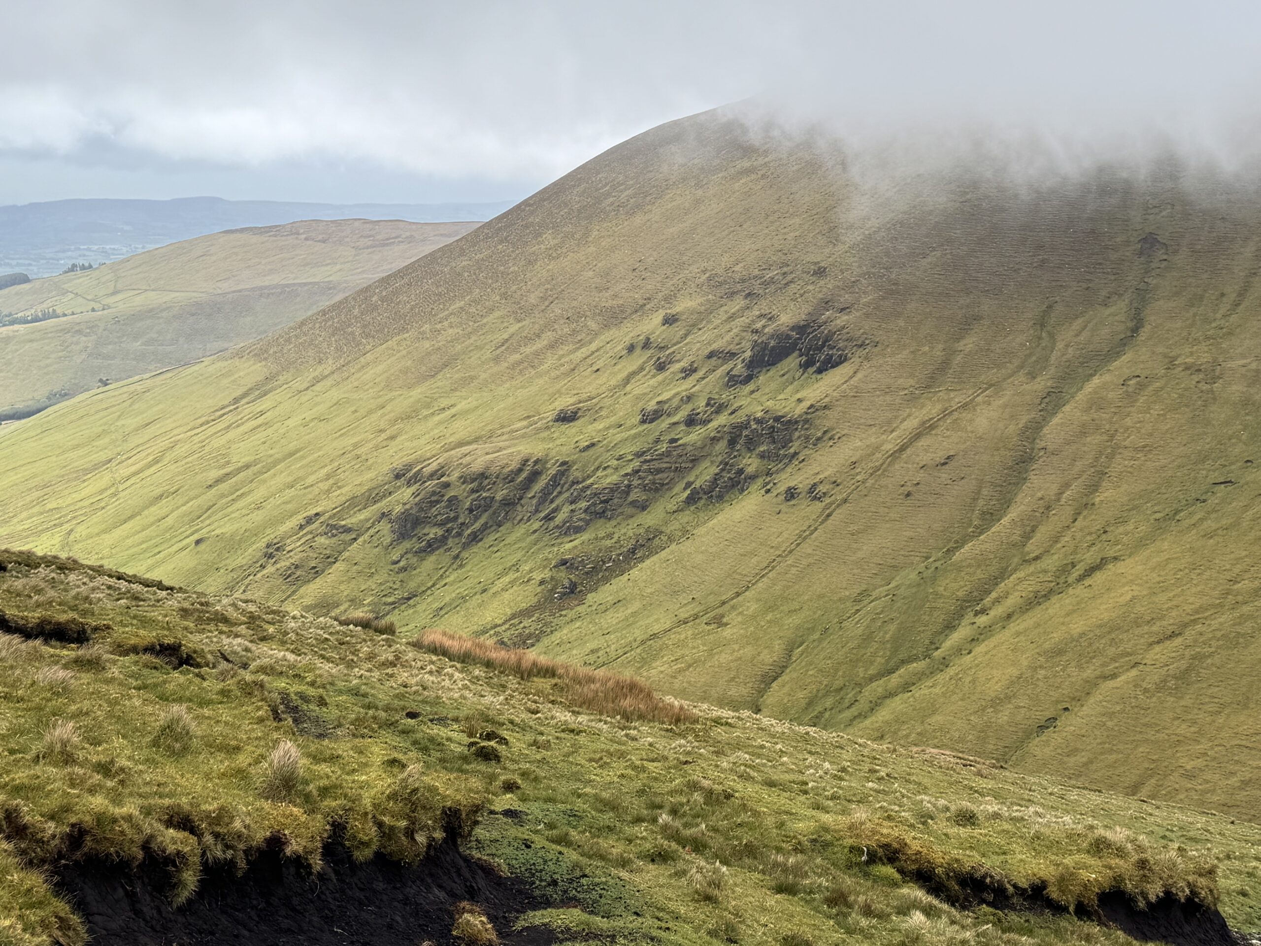
The Lyracappul Loop had been on my list for a little while. The main reason being that Lyracappul Mountain is part of my 40 highest mountains in Ireland challenge. Lyracappul, standing at 825m, comes in at number 14 on the list.
I’m a big fan of the Galtees in general though. I’ve already completed several walks in the area, including Glengarra Wood, the Galtymore Loop and a hike to Temple Hill.
In fact, that Temple Hill hike had originally been intended to include Lyracappul as well. On that occasion, we needed to abandon the idea though as visibility and weather conditions in the valley between Temple Hill and Lyracappul became too difficult. We tried our best but eventually, we made the sensible decision to turn around.
So it felt like unfinished business any time I started thinking about Lyracappul. This time, I planned to approach the mountain from a completely different direction. I wouldn’t be approaching via Temple Hill. Lyracappul was the objective in its own right.
Lyracappul Loop Walk Details
- Distance: 12.5km
- Time: I took just under 4 hours to complete but I kept a fairly strong pace throughout.
- Total ascent: 663 metres
- Highest point: Lyracappul – 825 metres
- Route type: Loop
- Difficulty: Moderate to hard
- Terrain: Mixture of road, farm tracks, mountain paths, boggy open mountain and rocky ridge terrain
- Navigation: Mostly defined trail but some pathless sections.
- Parking: Limited roadside parking at the starting point.
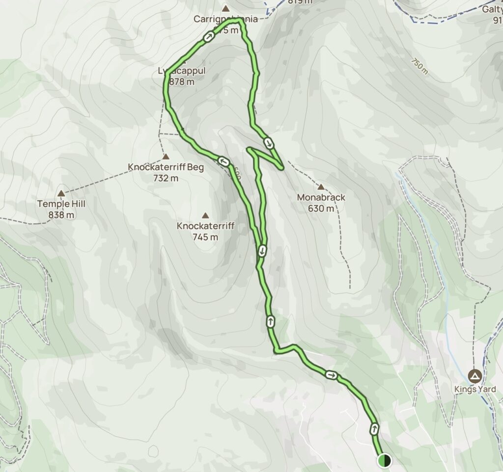
Map of the Lyracappul Loop
I followed the below Lyracappul Loop route from AllTrails. After a section of road walking at the start, I followed a mountain trail through the valley between Knockaterriff and Monabrack Mountains. Then upwards to the ridge at the back of the valley to get to the summit. I returned via the other side of the valley before completing the loop and retracing my steps back to the car.
Getting to the Lyracappul Trailhead
I left Dublin early for the long drive towards the western side of the Galtee Mountains, arriving at the trailhead at around 9am. The starting point is effectively at a Y-junction on a quiet country road.
There is a small area at the side of the road where you can pull in and leave the car. You could fit a couple of cars there at a push. This isn’t a large designated hiking car park, so it is definitely worth arriving early and parking carefully without blocking access.
Following the River into the Mountains
I found the first section of the Lyracappul Loop very straightforward. From the car, I followed the narrow road for around 1.5 kilometres as it gradually made its way towards the mountains. For much of this section, the road runs alongside the river, with woodland and thick vegetation lining either side.
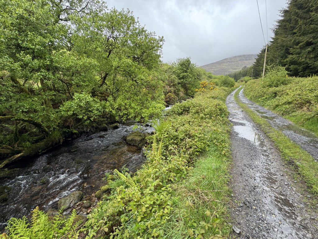
It was a pleasant way to begin the hike. After the long drive from Dublin, there was no immediate steep climb to deal with and I could gradually settle into the walk. As I continued, the surrounding mountains began to appear ahead and the valley slowly opened up.
After around 1.5 kilometres, the road section came to an end and I reached a small concrete bridge across the river.
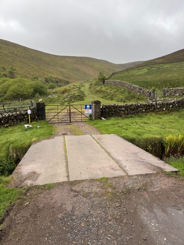
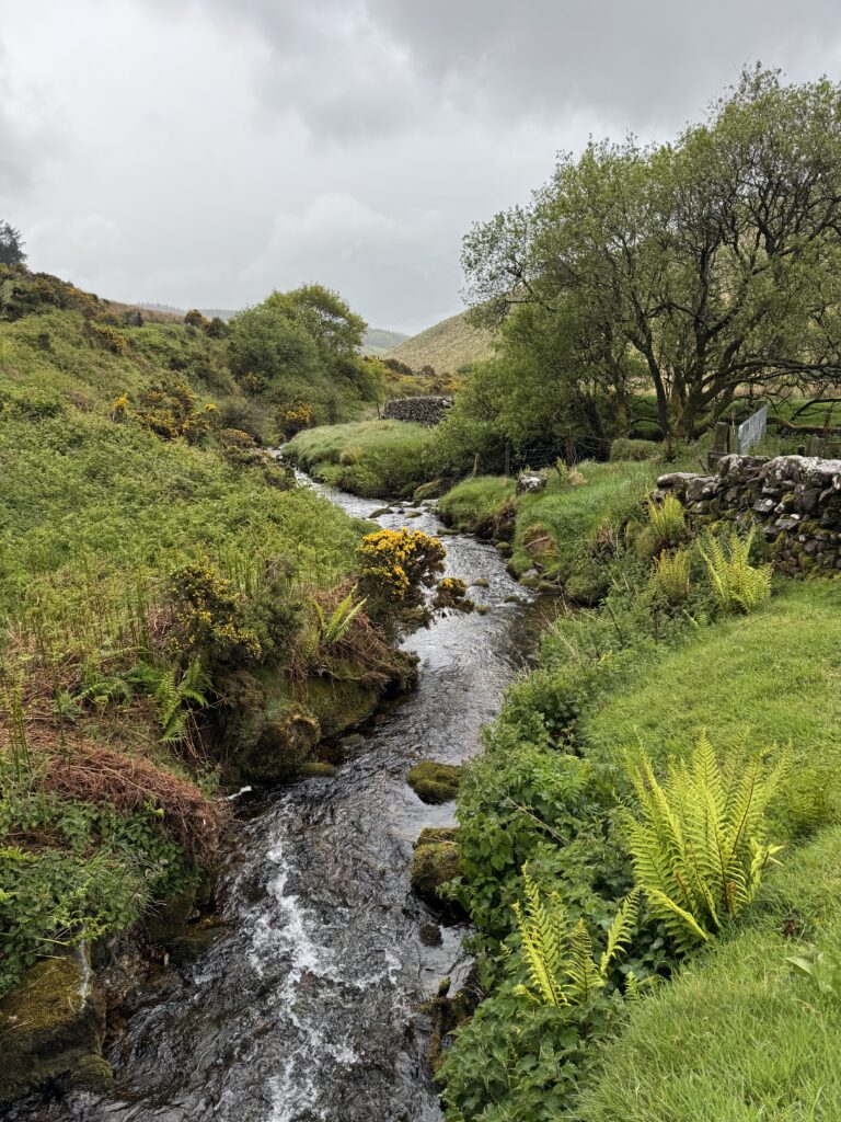
On the far side of the bridge (and over a locked gate), the tarmacked road disappeared. Instead, I followed a rough track through the green countryside. The Lyracappul loop started to feel much more like a proper mountain walk from here on.
The Farm Track and the Lonely Farmhouse
The farm track initially continued into the valley with a turn to the right shortly after the gate. I followed the right turn uphill with a long stone wall running beside me and a small patch of forestry on the far side of the wall.
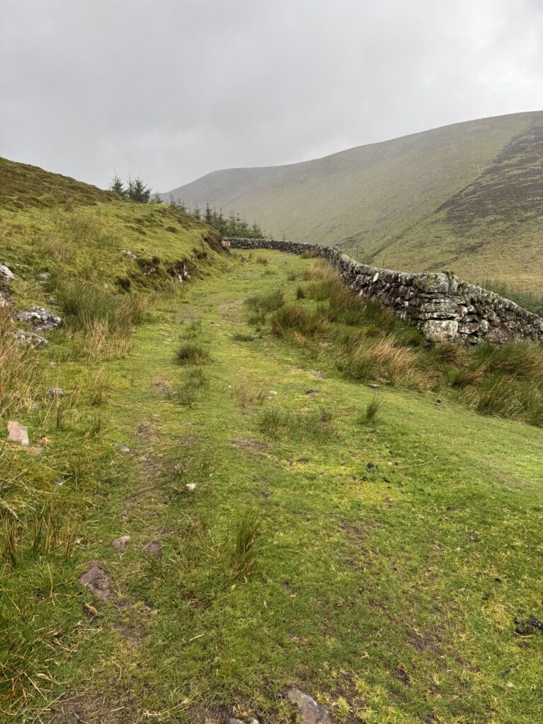
The track itself was clear and easy to follow, with a grassy surface underfoot. At this stage, navigation felt straightforward. I simply followed the track.
Shortly before the 3 km mark, I passed an isolated farmhouse sitting on its own in the valley. The remoteness of the location really caught my attention. The place looked as though it had been lived in up until fairly recently. I found myself wondering what it must have been like to live somewhere so far removed from the world. There was something fascinating about it. A house completely surrounded by mountains, well away from the nearest town or village.
Maybe I could turn it into a little hiking hostel. Or a retreat for people to get away from things. Or perhaps I could just move there and attempt to live off the land. None of these ideas were especially realistic, but it felt nice to let my imagination run wild for a bit.
Taking the High Road
Just after the 3km mark, the track reached a clear fork. The path to the left led uphill while the right took a lower route. I took the higher route.
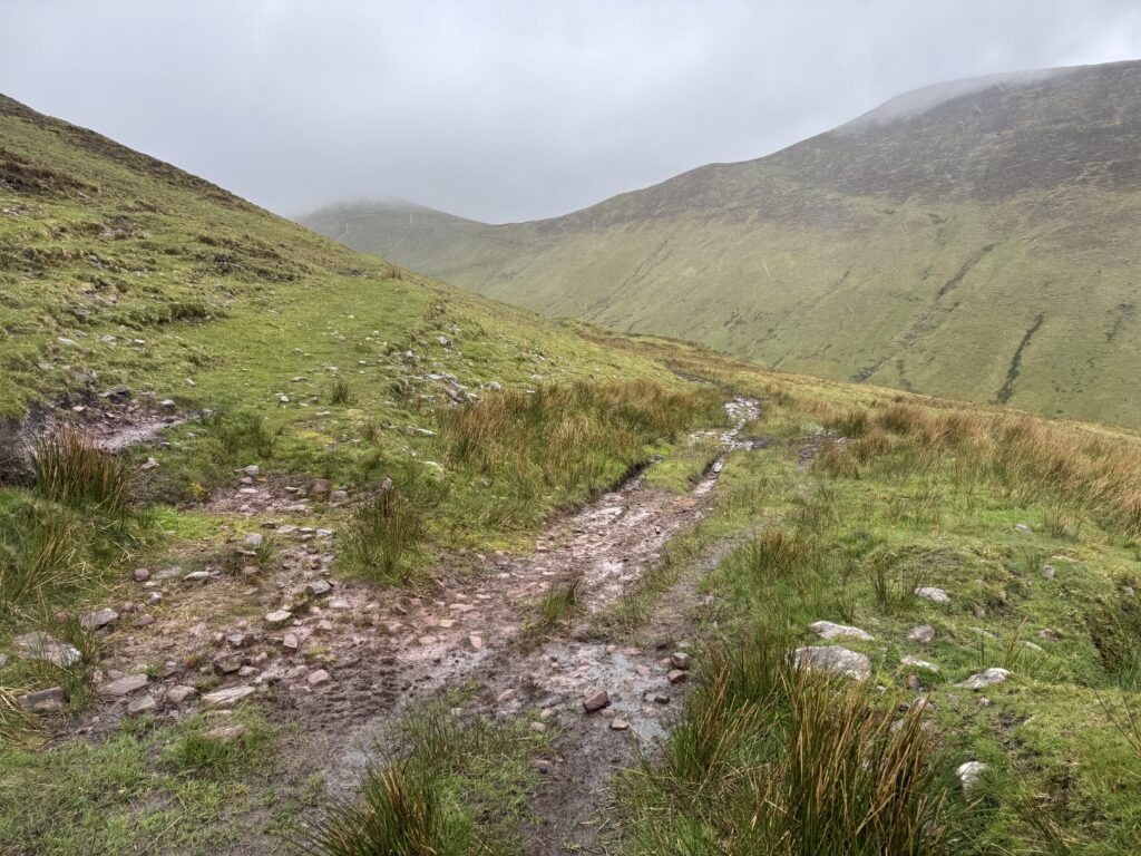
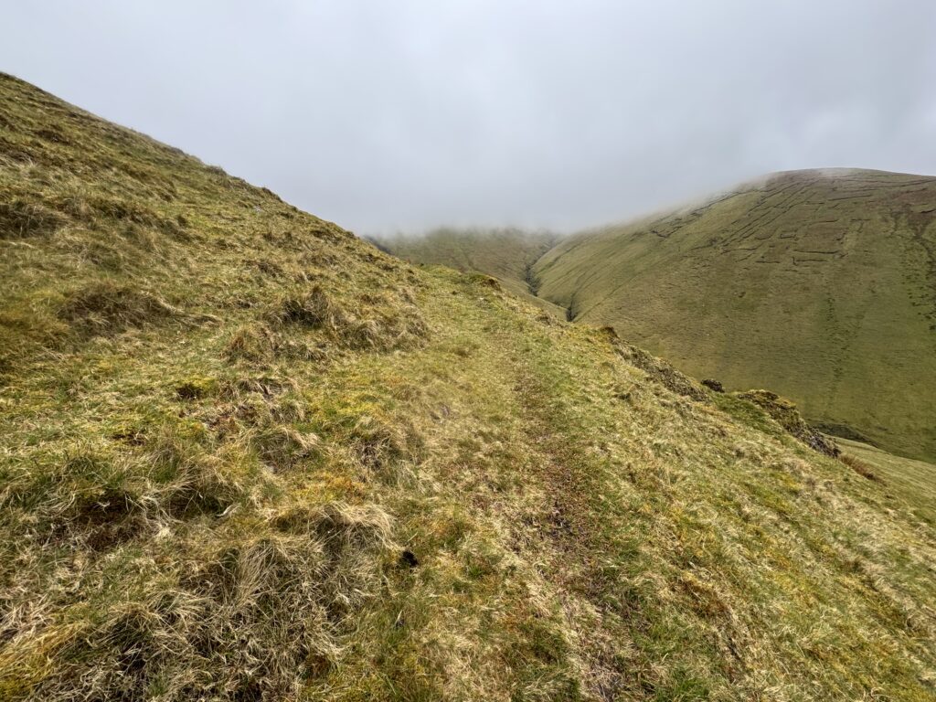
The surface became grassier almost immediately, but the path was still clearly visible and remained easy enough to follow. The surroundings were now completely different to the road and farmland near the start of the hike. I was properly into open mountain country – with a mountain shrouded in cloud in front of me.
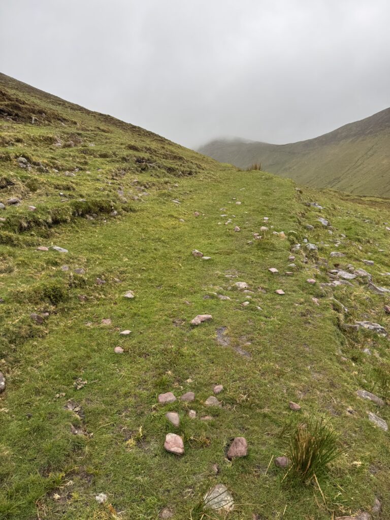
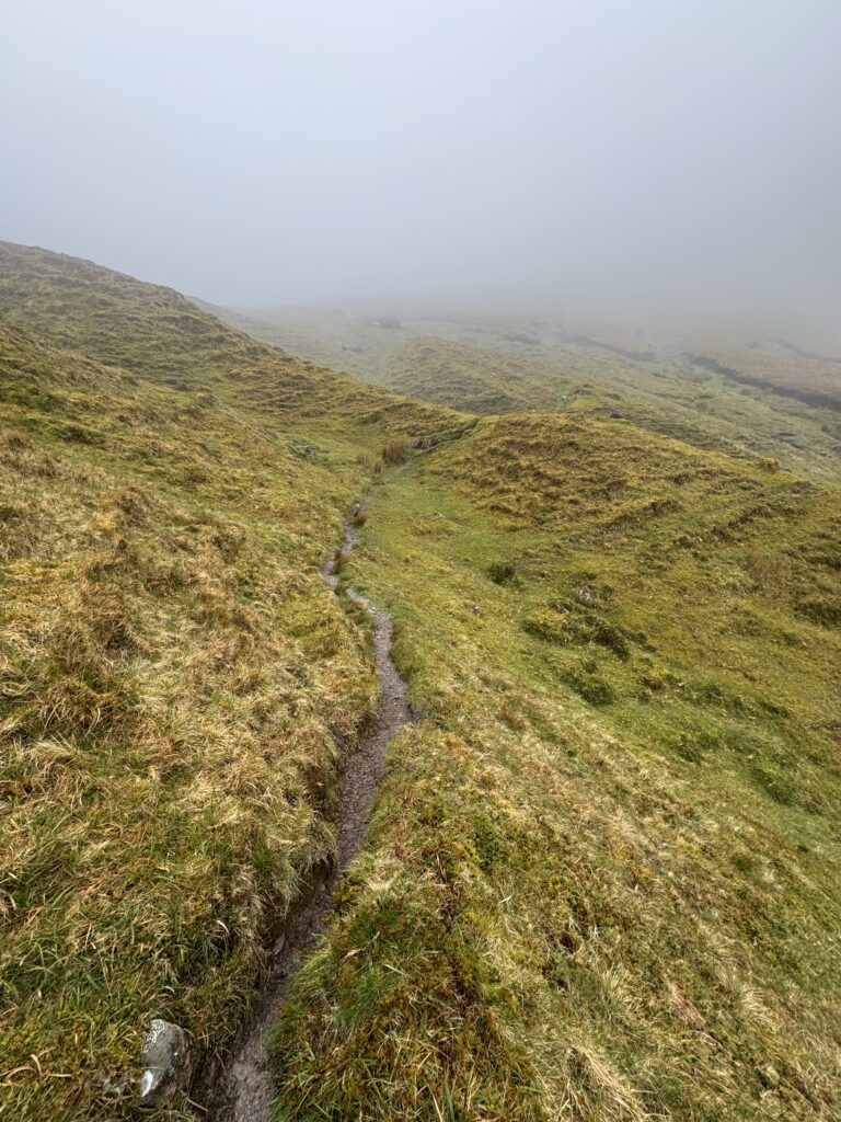
The grassy path continued climbing across the slope, but it gradually became narrower and less obvious. The track became a faint line in the grass until eventually, even the line disappeared altogether. Unfortunately, this happened at almost exactly the same time as I reached the cloud line.
Into the Cloud
I had been hoping for good views across the valley towards Temple Hill. After my previous attempt to reach Lyracappul from that direction had been abandoned because of bad weather, I was looking forward to seeing the mountain from the opposite side. I wanted to try to see how far away we were when we decided to turn back. Instead, the cloud gradually closed in. There would be no views of Temple Hill for me.
Up until now, navigation had been straightforward enough. There had always been something obvious to follow: road, farm track or mountain path. It became slightly trickier once the trail disappeared and visibility reduced due to the clouds.
Crossing the Open Mountain
The terrain also became noticeably more difficult. The ground was soft and boggy in places, with sections of eroded peat making progress slower. I kept checking my GPS route to make sure I was moving in roughly the correct direction, but in practical terms the objective was fairly simple.
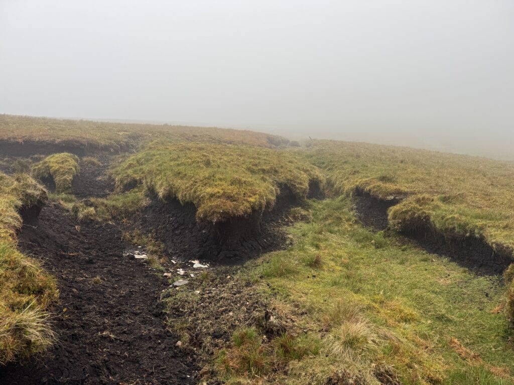
Keep going uphill. I knew I needed to reach the ridge above and turn in a north-easterly direction. I worked my way steadily across the rough ground. Eventually, I reached what was essentially a lower ridge or shoulder of the mountain.
The Steepest Climb of the Lyracappul Loop
The climb from the lower shoulder towards the main ridge was easily the toughest section of the hike. The ground gradually became rockier as I gained height, while the gradient increased sharply.
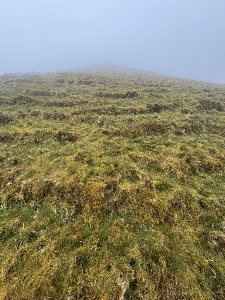
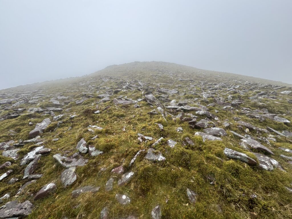
There was still no proper path to follow, so it was simply a case of choosing a sensible line and continuing upwards. After a few minutes of hard work, I reached the higher ridge. Things became considerably easier from there.
Following the Ridge to Lyracappul
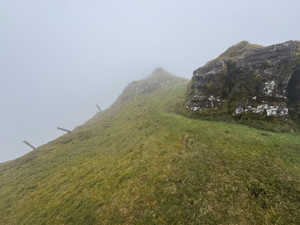
Near the top of the ridge, I picked up a somewhat more defined trail again. Progress towards Lyracappul became much more straightforward. I just continued along the ridge.
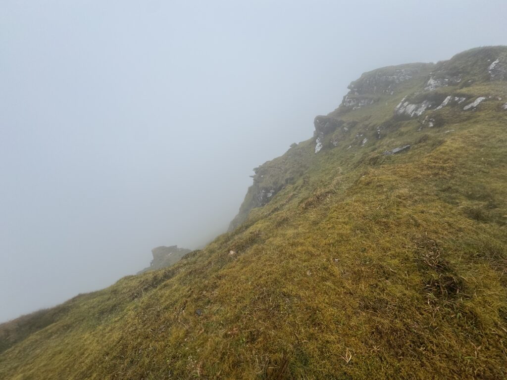
The ridge was still wrapped in cloud and there were almost no views, but the walking itself was easier. I came across a couple of rocky sections and outcrops along the way, although nothing particularly difficult. Eventually, the summit cairn appeared through the mist.
Lyracappul Summit
At 825 metres, Lyracappul is one of the higher mountains in the Galtees. The summit itself is marked by a simple stone cairn. Unfortunately, there wasn’t much of a view when I arrived.
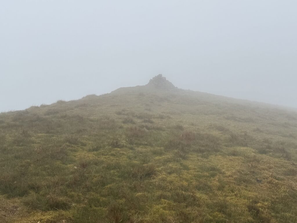
The cloud was still sitting firmly on the ridge. It felt fairly windy, so I didn’t hang around for long. After reaching the summit, I continued onwards in a north-easterly direction to complete the loop rather than retracing my steps.
By this stage, a long stone wall had become the most obvious feature on the ridge. I followed it through the mist. The ridge walking was much easier than the climb up and the wall provided a useful navigation aid in the poor visibility.
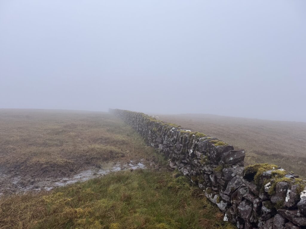
The main thing I needed to work out was when to leave it.
Leaving the Wall
Eventually, my route turned away from the ridge and headed south. There wasn’t an obvious stile to get across the wall on my right. However, parts of it were crumbling, so I just chose one of the gaps and crossed through.
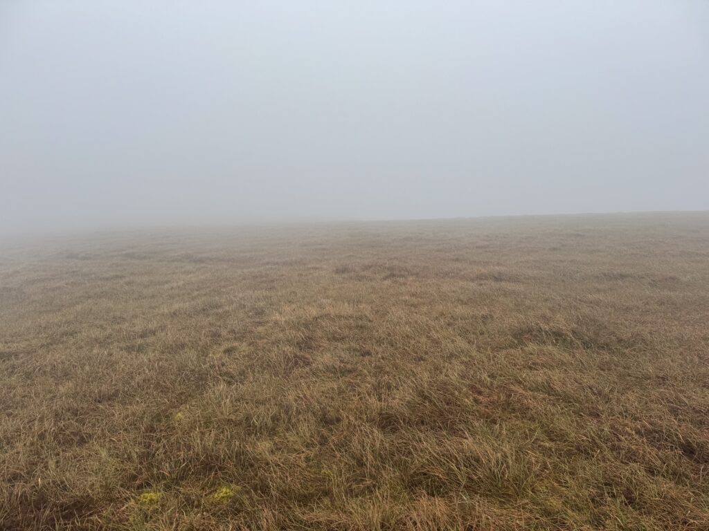
From there, I found myself back on open mountain. This next section of the Lyracappul loop involved heading south across a broad grassy slope with no obvious path. Eventually, as I continued my descent, things started to improve.
Dropping Below the Cloud
As I lost height, the cloud slowly began to thin. The mountainsides gradually reappeared and I could see down into the valley in front of me. The ground was still pathless but was generally grassy and straightforward enough to cross, with some eroded peat sections scattered across the slope. I could see a path below me that I needed to head towards.
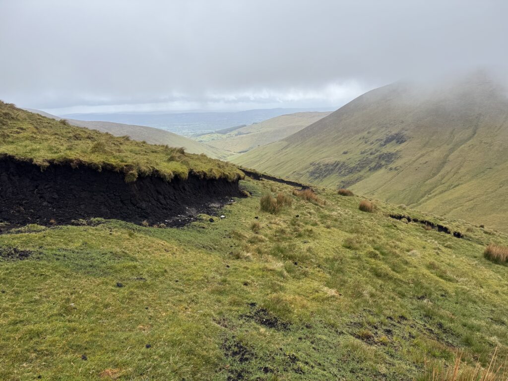
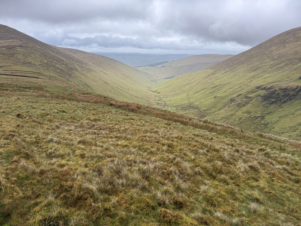
It was just over a kilometre from leaving the wall before I picked up this proper mountain track. At that point, the navigation became simple again.
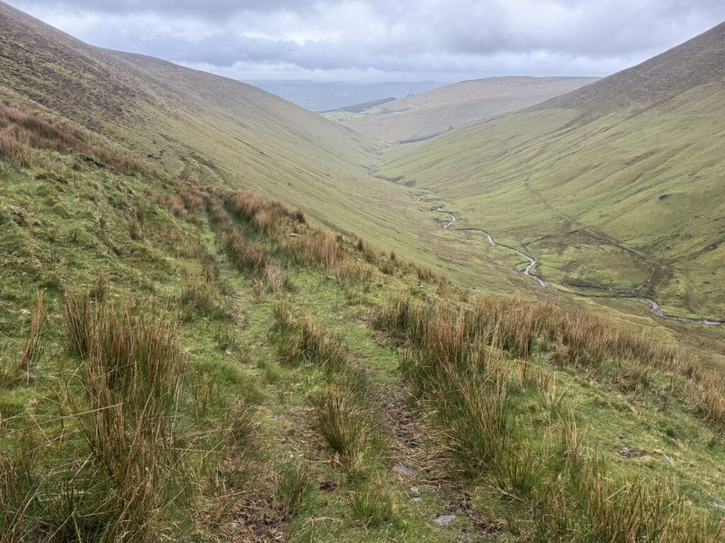
Following the River Down the Valley
The track ran along the left-hand side of the river as I descended. The path made a large zig-zag across the slope, gradually losing height before eventually swinging back towards the river. It ran alongside the river for a while. This was one of my favourite sections of the return journey.
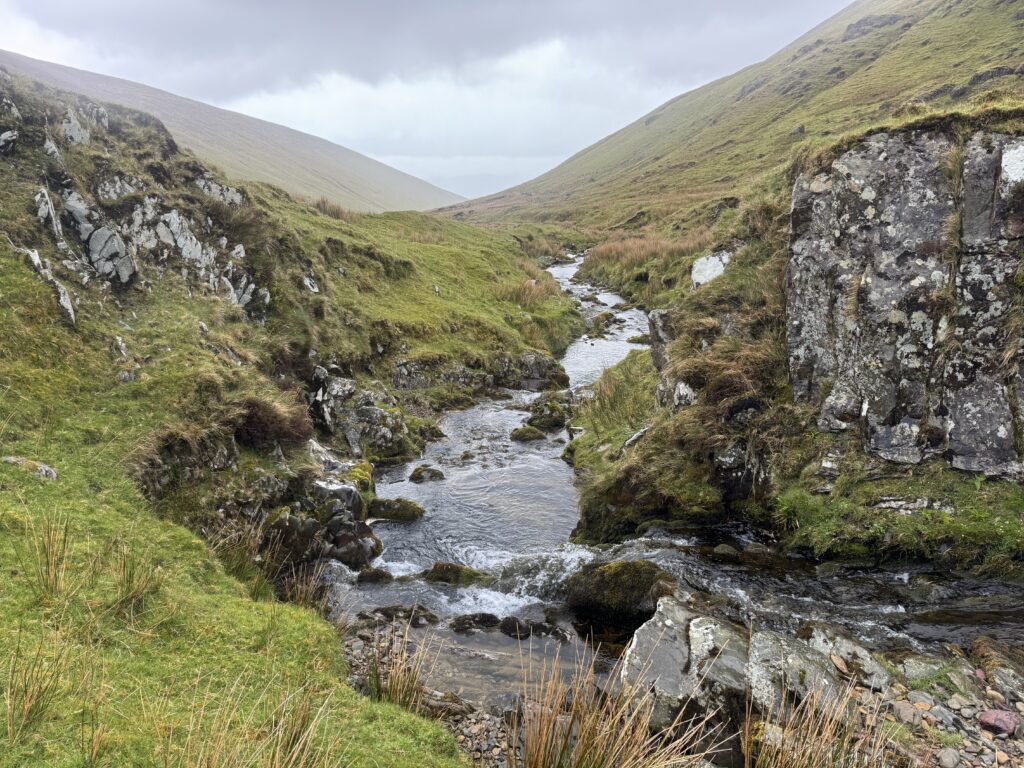
Crossing the River
Unlike my previous crossing of the river, there was no bridge here. Instead, the route crossed the river using a raised concrete section with water flowing over it.
The water wasn’t particularly deep and I was able to walk across without any problem, although waterproof hiking boots were definitely needed. I felt glad to have a good pair. For anyone interested, I’ve written a review of my trusty Meindl boots here.
Obviously, river levels can change significantly after heavy rain, so anyone following the route should use their own judgement when they reach this point.
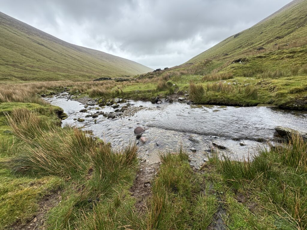
The Lower Track
The trail followed the valley back towards the outward route. Unfortunately it did move away from the river. Still, it was pleasant walking and I was now well below the cloud. I soon found myself back at the fork in the path and then retracing the steps I had taken a few hours earlier. This time, heading back to my parked car.
Returning Past the Farmhouse
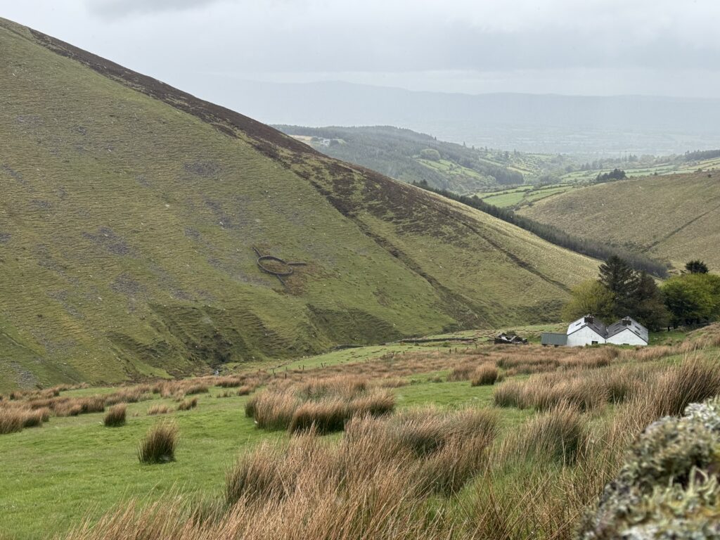
Seeing the farmhouse from the opposite direction only reinforced how secluded it was. It sat alone beneath the surrounding mountains with the valley stretching away behind it.
There’s an interesting circular enclosure on the opposite mountainside behind the farmhouse. It’s actually a ringfort, with a later dry-stone wall appearing to have been built around it rather than through it.
I really like that old farming tradition in Ireland of leaving ringforts undisturbed. Here, it certainly looks as though an effort was made to respect the fort with the building of these walls.
Earlier, when I passed the farmhouse, my thoughts had been about just how remote this place felt. Now, looking across the valley, here was evidence that people had been living and working in this landscape for centuries.
Returning to the Trailhead
From the farmhouse, I was firmly back on familiar ground. I continued on and returned to the concrete bridge and crossed over the river for the final time. The final stretch then involved retracing the roughly 1.5 kilometres of road alongside the river.
Final Thoughts on the Lyracappul Loop
My first attempt to reach Lyracappul had ended in the valley on the other side of the mountain when bad weather forced us to turn back. It therefore felt good to finally get to the summit.
Admittedly, the weather hadn’t exactly been great this time either. I never got the views towards Temple Hill that I had hoped for, and much of the higher mountain was hidden by cloud.
Even so, I enjoyed the walk. There is a good variety of terrain, from the river and farm tracks at the start to rough open mountain, a rocky ridge and the broad descent back into the valley. The section where the trail disappears makes it feel considerably more adventurous than some of the better-defined routes in the Galtees.
So maybe not quite the triumphant clear-weather return to Lyracappul I had wished for. But maybe a more memorable walk because of it.