

Climbing Barrclashcame is not easy. Not that we experienced any overly technical elements when climbing Barrclashcame. The route we took wasn’t even the longest of distances. The difficult thing about climbing Barrclashcame relates to the fact that we didn’t have any obvious trail to follow. For the majority of the route this meant hiking through overgrown grass and thick scrub. Mostly via a steep gradient. So climbing Barrclashcame felt like hard work with slow progress for long stretches.
As a result, climbing Barrclashcame wasn’t the most enjoyable hike I’ve ever completed.
Even saying that makes me feel a bit funny as it is rare that I don’t enjoy climbing a mountain. However, the route we chose felt like a real slog at times.
I am going to use this article to outline what we did and maybe offer some advice and other options so you can avoid making the same mistakes we did.
What You Need to Know About Climbing Barrclashcame
Location: Sheffrey Mountains, Co. Mayo
Distance: 7km
Type of Walk: Out and back – on reflection, I wouldn’t recommend returning the same way you ascend. Other point to point type walks would be better.
Time Required: It took us 5 hours to complete the 7km.
Elevation Gain: 732m
Grade: Difficult due to the terrain – you don’t have a trail to follow for the majority of the walk. Thick grass and steep slopes make this one tough going.
The Walking Group for Climbing Barrclashcame
Thank goodness I had a good crew with me for this difficult hike. I climbed Barrclashcame alongside 3 of my best friends. We’ve done a good few hikes together at this stage and all bring our own unique skills to the equation.
Kevin – The Navigator – I have never met a man with a better sense of direction. Invaluable on a hike.
Dave – Chief Morale Officer – Keeps the group’s spirits high and brings the positive energy when we need it most. But he’s more than just good craic—Dave is rock solid. Reliable, steady, and always looking out for others. We know he’ll have our backs, no matter what the mountain throws at us (check out the Kilimanjaro hike we completed together)
John – The Engine – probably the fittest man I know. Will generally have done a 10km dawn run before even thinking about climbing a mountain. Sets a good pace while always having lots more in reserve if needed.
Getting to the Start Point When Climbing Barrclashcame
We left Dublin early on a beautiful Friday morning in June. Two cars made the trip. I tagged along with John while Dave and Kev travelled together. The plan was to meet at the Doolough Famine Memorial. We would compete the Barrclashcame hike, then head to our accommodation for the next couple of nights in Louisburgh.
Louisburgh turned out to be the perfect spot to base ourselves for a weekend of hiking (and drinking pints!).
We arrived at the meeting point shortly after noon. After a quick stretch following the long drive, we were ready to get going. The lad’s weekend had begun!
Our Route For Climbing Barrclashcame
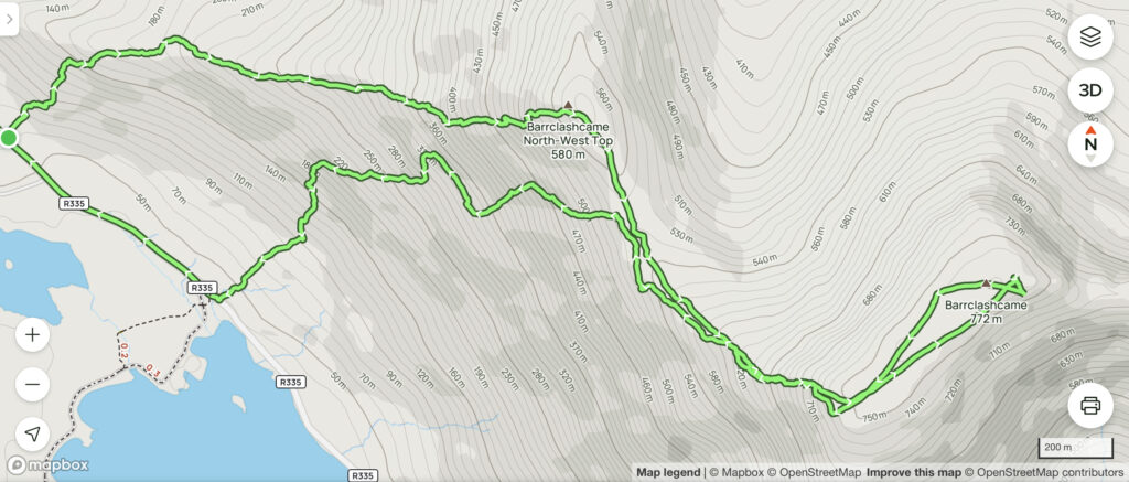
I based our route by combining a couple of available maps on alltrails. Neither of these looked perfect either. Were I to complete the hike of Barrclashcame again, I think I would still go up the same way we did. However, I then would continue on across the nice ridge walk to Tievummera and also take in the peaks of Tievnabinnia and Tievnabinnia East Top before descending to the L1824.
The annoying thing is the fact that we did have two cars with us so could have completed this option.
Despite our difficulties, experiences like this validate the need for a website like this one. I would have loved to have had a detailed online guide on the best way for climbing Barrclashcame. Unfortunately, that just doesn’t exist.
In any event, here’s the route we completed:
Starting the Barrclashcame Hike
I may sound overly negative about climbing Barrclashcame. I should probably mention that the views throughout the hike are simply spectacular. We started at the Doolough Famine Memorial which has space for 5 or 6 cars.
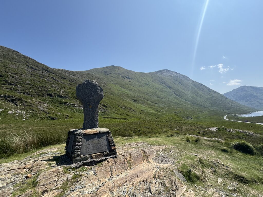
The memorial marks the start of the Doolough Valley. With the Sheffrey Mountains to the east and the Mweelrea Mountains to the west towering over the two lakes at the floor of the valley – the scenery is beautiful.
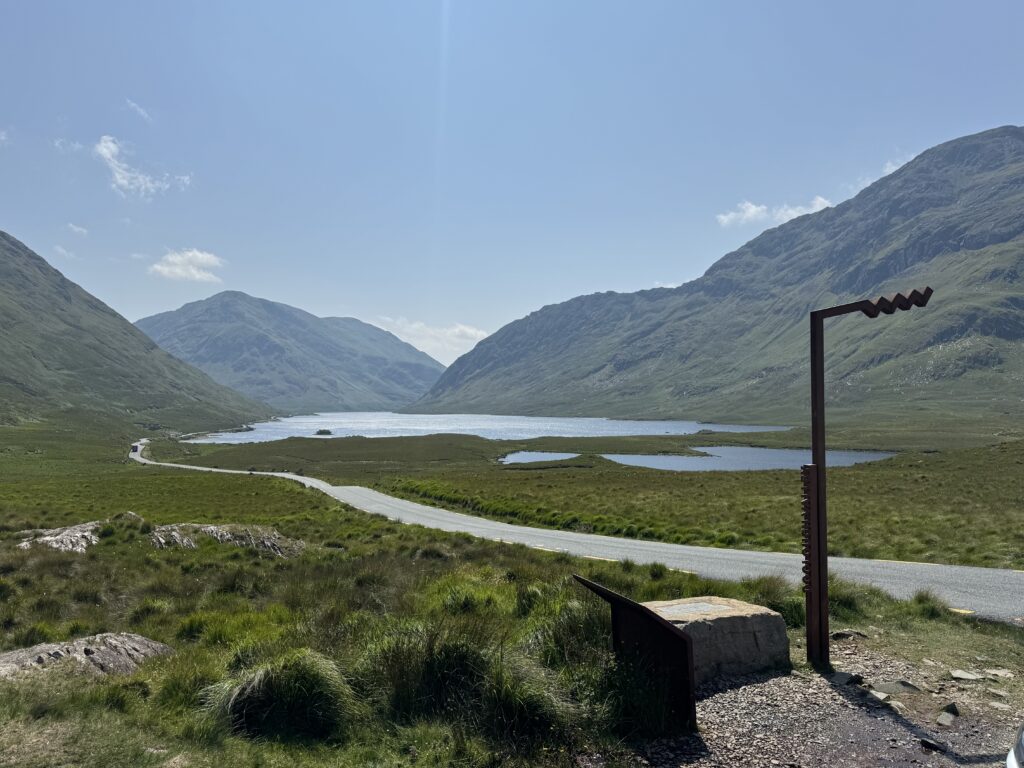
The memorial itself commemorates the victims that died here in March 1849. In the depths of the Famine, residents of Louisburgh made the 19km walk to Delphi House seeking help from the landlord residing there. The request was denied and estimates state that up to 400 malnourished people perished on their return.
Into the Thick of It
We left the roadside carpark and headed north east. We spent the first kilometre or so winding our way upwards with the goal being to make it to the visible ridge in front of us.
With no discernible trails, the going felt tough. The steep incline didn’t make things any easier.
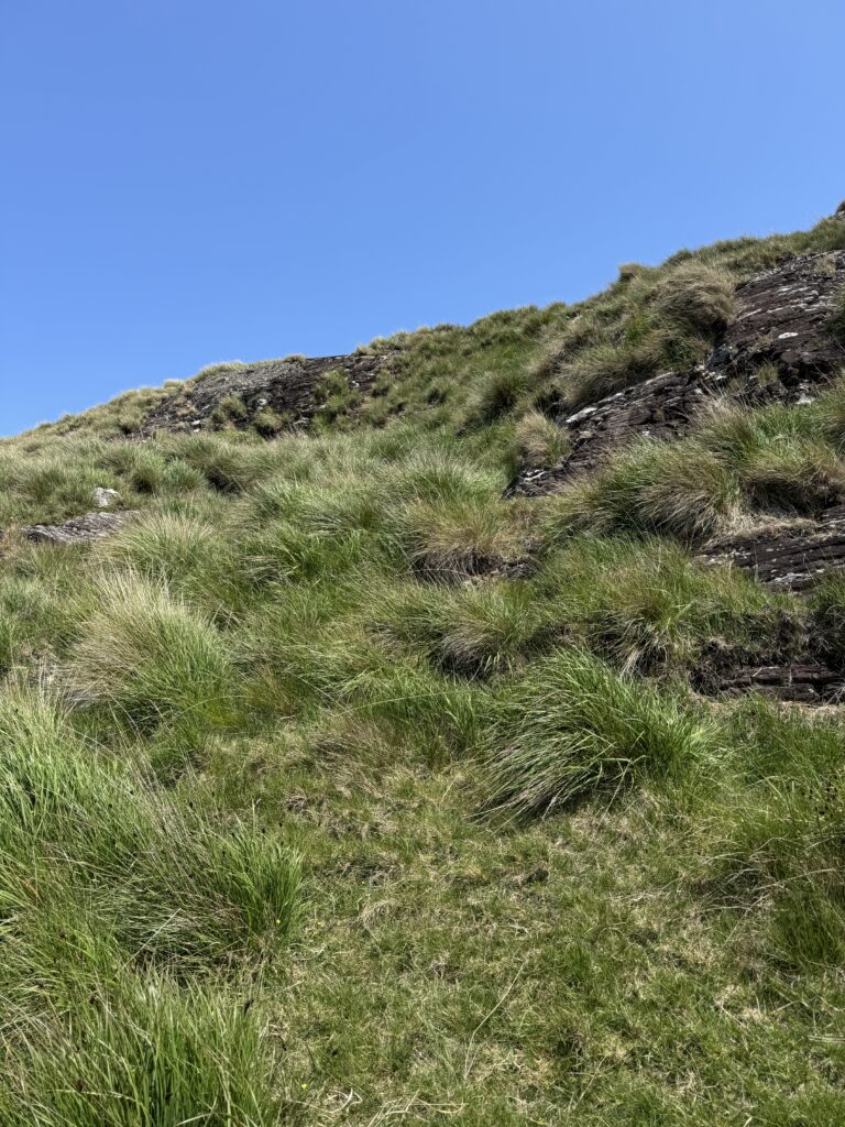
Barrclashcame North West Top
Once we reached the ridge, thankfully things became a bit easier. The consolation of amazing views out over Doolough made things a bit better too.
We had our next target in sight too – Barrclashcame North West Top. Standing at 580m, reaching this peak involved very steep inclines.
Given the heat, we needed to stop regularly for water and to apply sun cream. We made slow but steady progress.

On reaching the summit, the route to Barrclashcame itself became obvious.
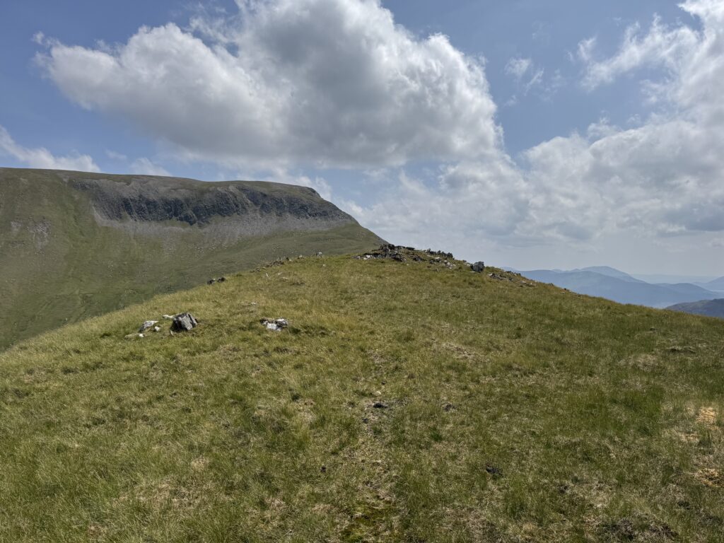
Heading for Barrclashcame
We continued to follow the ridge in a more or less south easterly direction. Thankfully, the underfoot conditions became more manageable. With shorter grass in this flatter section, we finally started to make good progress.
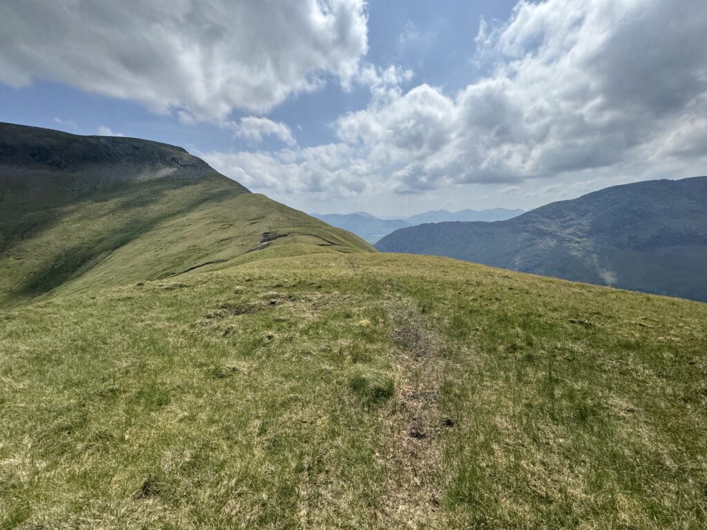
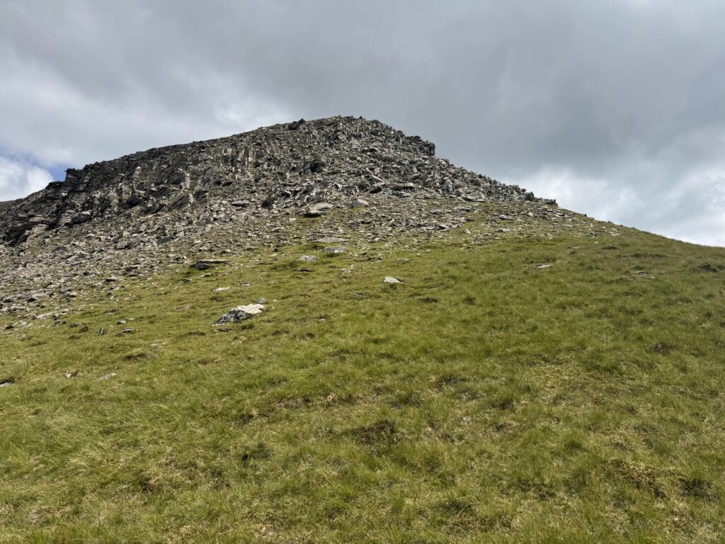
The final difficulty became apparent in front of us. A steep outcrop of rock to elevate us up to the upper plateau.
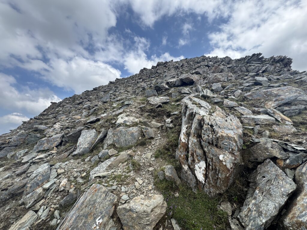
The rocks loomed ominously in front of us as the incline steepened on our approach. How would we ever get up there? When we reached the base of the rocks, little pathways through became a bit more obvious. We carefully picked our way upwards. This short section of scrambling required both hands and feet to get through. It goes without saying that great care is needed here and you should only consider tackling it if you are comfortable with and have some experience of scrambling.
The Final Stretch When Climbing Barrclashcame
Once we had successfully navigated the outcrop of rocks, we found ourselves on the broad ridge that approaches the summit of Barrclashcame.
We once again picked up the pace for the final 700m or so to the summit. The peak of Barrclashcame is marked by a small pile of stones. We had made it to the top!
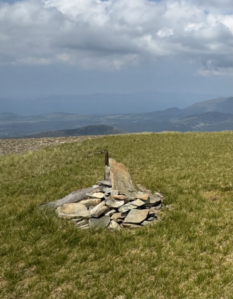
It took us 2.5 hours in total.
Back the Way we Came
After a nice lunch on the northern slope of the ridge, we made ourselves ready for the return part of the journey.
As we retraced our steps, the thoughts of getting back to the cars began to worry me a little. The steep decline after Barrclashcame North West Top would be very difficult. In addition, we would then have to face the tough slog between the lower ridge and the road.
As we made our way back, we started to look for other options to get back to the road. Was there a more direct route perhaps?
Decisions
I made the call to try a more direct option by cutting out the top of Barrclashcame North West Top.
In hindsight, this probably was not a good idea. We needed to endure about 1.5km of downhill walking through very difficult underfoot conditions. We tried to follow little sheep tracks when possible but they all eventually meandered off and faded away.
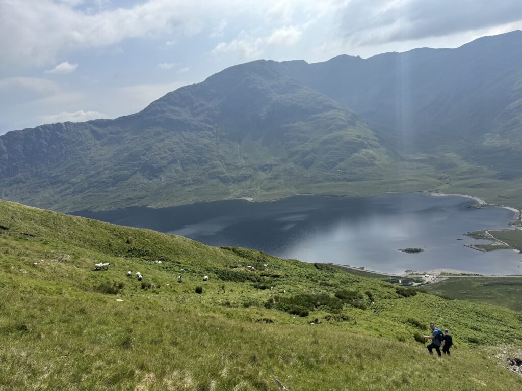
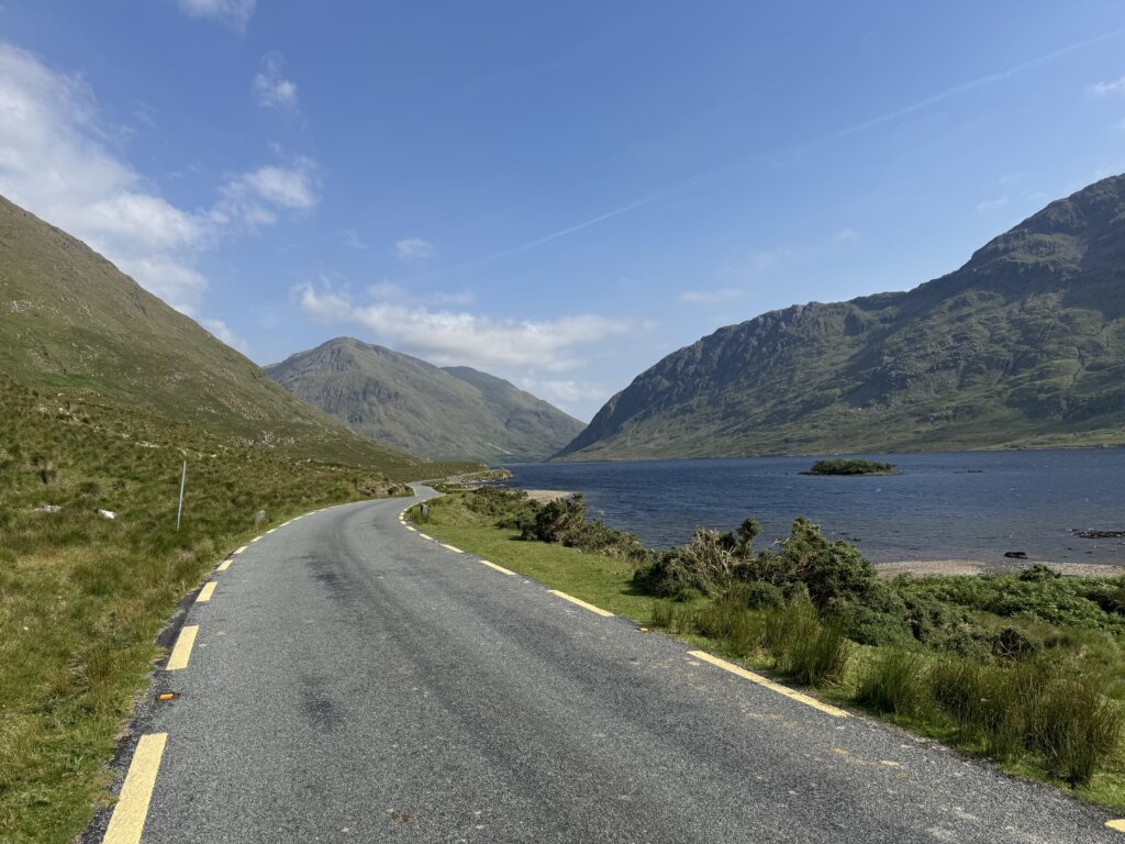
It felt like a huge relief to finally get back to the road that runs alongside the lake. This meant 700m or so of roadside walking to complete the trail and get back to the carpark.
Hindsight
Looking back, I definitely would do things differently. The way we ascended felt difficult but manageable (you could also start from the bridge at Glen Keen Farm to make the initial ascent easier but a little longer). However, the route back the same way should not be completed.
As noted above, I would recommend continuing on after summiting Barrclashcame, completing the lovely ridge walk to Tievummera and onwards from there. Please see link to details of this route.
Where to Stay When Climbing Barrclashcame
We made the 15 minute drive to Louisburgh after completing the hike to check into our accommodation for the next couple of days.
We stayed in West View Accommodation. While basic, the rooms were clean and provided everything we needed for our stay.
The quiet village of Louisburgh also provided everything we needed. I would highly recommend the Louisburgh 74 cafe next door for breakfast.
Louisburgh has two nice pubs – McNamara’s Bar and An Bhun Abhainn. McNamaras does a decent pizza. Gaffney’s Seafood Restaurant requires a reservation as it will likely be pretty full on weekends.
The big Gala Supermarket In the middle of the village provides everything you need to stock up before heading out on a hike.
After checking in to West View, we settled in for a few pints in McNamaras and began thinking about our planned hike for the next day – The Mweelrea Loop!