
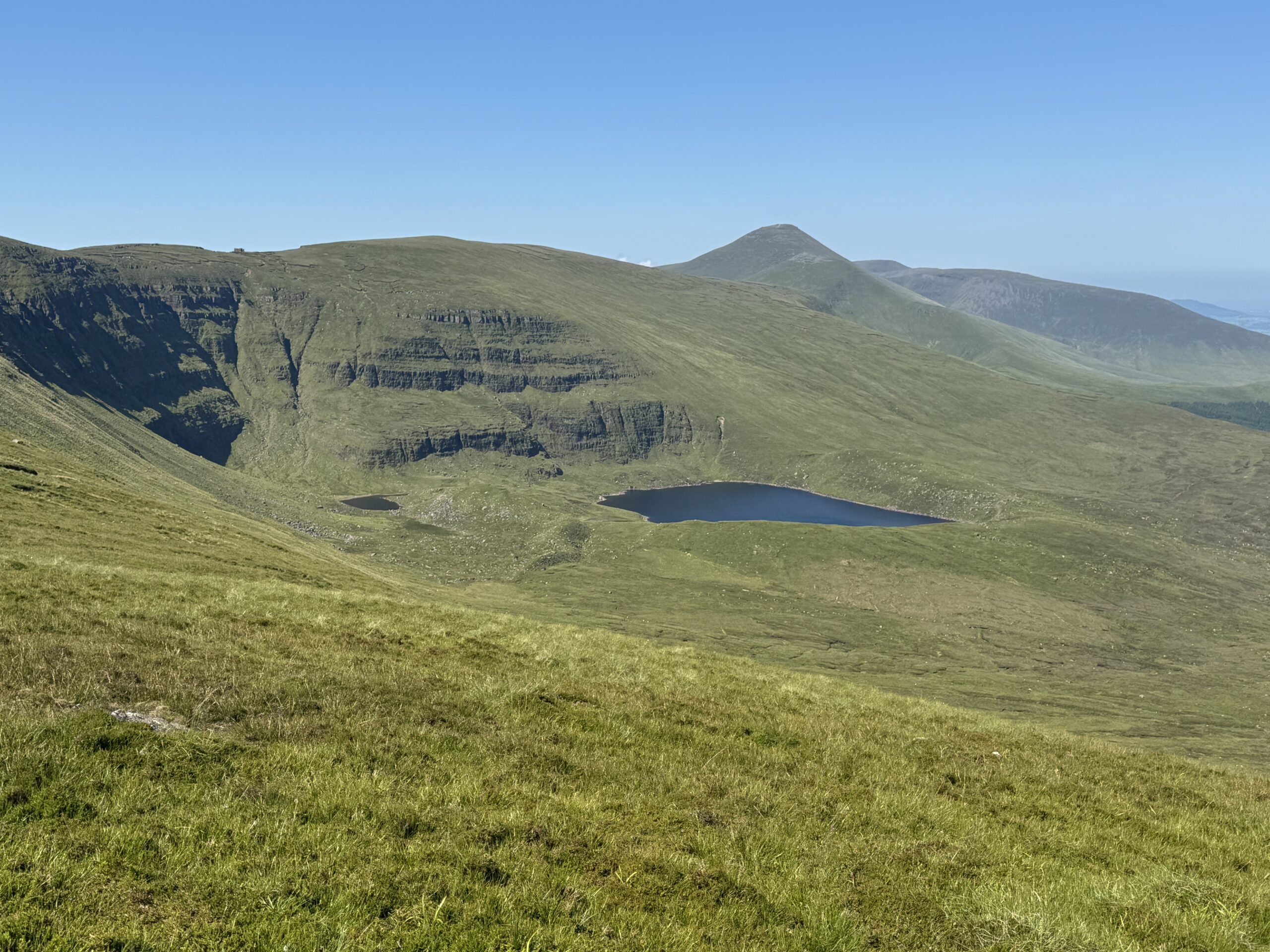
I’ve always been a planner. Think spreadsheets for a holiday type of guy. However, I’m getting older now and approaching 40. As the years go by, I’m starting to appreciate the benefits of being a little more flexible and changing plans when the opportunity arises. My Greenane Mountain and Lough Muskry loop walk was a perfect example of this.
We were climbing Greenane as part of my challenge to climb the 40 highest mountains in Ireland before turning 40. However, when we saw Lough Muskry shimmering in the sunshine, we knew we just had to change course and get a closer look. So that’s exactly what we did. And what a great decision that turned out to be!
My friend Dave and I had originally planned to follow a route taking in Greenane (802m), Greenane West (787m) and Knockastakeen (582m) in the Galtee Mountains. In the end, we decided to skip Knockastakeen altogether in favour of visiting Lough Muskry.
We ended up completing a 13.7km loop, climbing Greenane Mountain before descending towards the spectacular Lough Muskry. The scenery around the lake was simply incredible, with enormous cliffs rising above the water and beautiful green mountainsides stretching away into the distance.
We were lucky enough to be blessed with brilliant summer weather. The clear blue skies provided a fantastic backdrop to the surrounding mountains, while the warm temperatures made our decision to take a slightly shorter route particularly welcome!
This was another great hike in the Galtee Mountains and one I’d certainly recommend to anyone who enjoys a good mountain walk.
Greenane Mountain and Lough Muskry Loop Details
- Location: Galtee Mountains, County Tipperary
- Distance: 13.7km
- Elevation gain: 731m (as per my trusty Garmin watch)
- Highest point: Greenane Mountain (802m)
- Time needed: 5-6 hours
- Difficulty: Moderate to challenging
- Route type: Loop
- Terrain: Mixture of forest tracks, narrow mountain trails, open mountain grassland and rough gravel tracks
- Starting point: Near Rossadrehid, County Tipperary
Greenane Mountain and Lough Muskry Loop Map
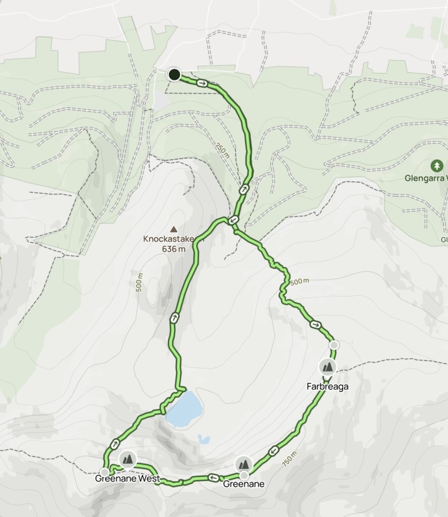
We based our hike on the Knockastakeen, Greenane West and Greenane route on AllTrails.
However, we made a couple of changes to the suggested route. I’ve uploaded the GPS recording of our actual hike to AllTrails, which you can access below.
View our Greenane Mountain and Lough Muskry Loop on AllTrails
This is the route we completed on the day, including our diversion across the grassy mountainside towards Lough Muskry. It is worth noting that some sections of this route don’t follow a clearly defined trail. We completed the hike in excellent summer conditions, when the ground was relatively dry and visibility was fantastic. I would be considerably more cautious about attempting the same shortcuts in poor weather.
Getting to the Greenane Mountain Trailhead
Dave and I made an early start from Dublin, heading towards County Tipperary for our day in the Galtee Mountains. We arrived at the trailhead near Rossadrehid at around 9am. Our starting point was on the northern side of the mountain range, with a forestry track leading uphill towards the mountains.
It was already shaping up to be a beautiful day, with clear skies and plenty of sunshine. We loaded up on suncream before hitting the trail.
Starting the Greenane Mountain Hike
The first section of the Greenane Mountain hike felt very straightforward. We followed a forestry track as it gradually made its way uphill through the trees. It was easy to navigate, with no major decisions to make about which direction to take.
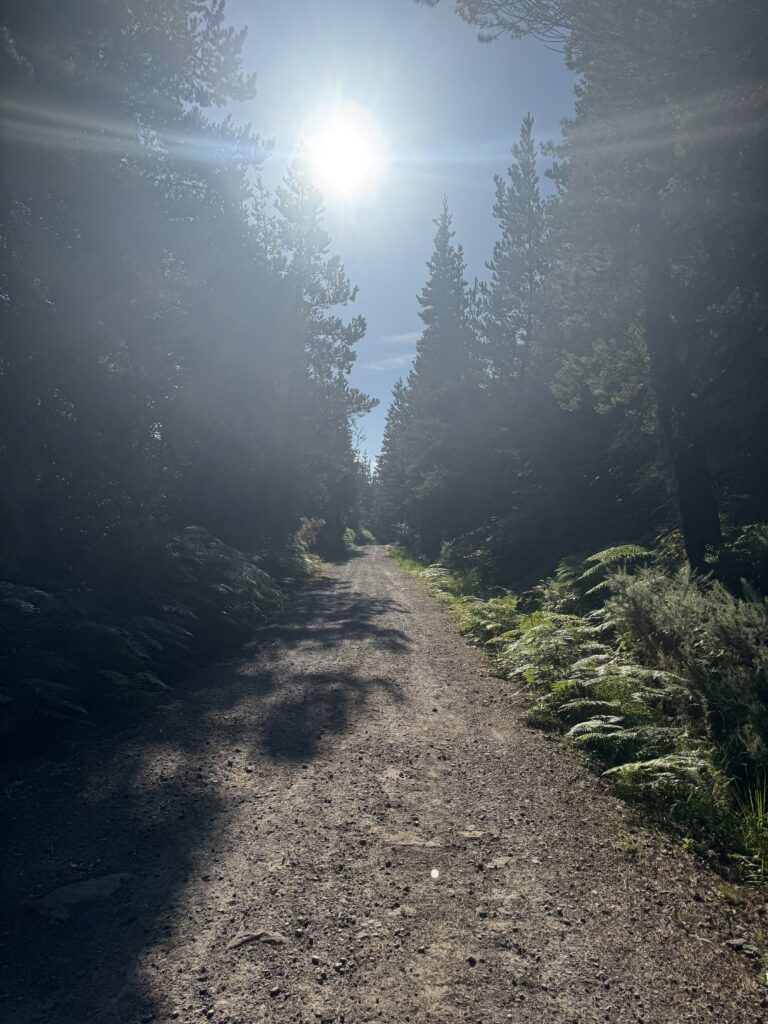
Although the walking was relatively easy, we were still gaining height. Over the first 2km, we climbed approximately 200 metres. As such, it felt like a decent way to get the legs warmed up. The track ran alongside a gurgling river for much of the way uphill. However, given the thick forest vegetation, we didn’t get to see much of it unfortunately.
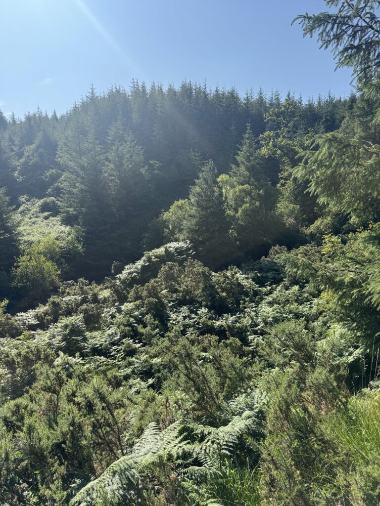
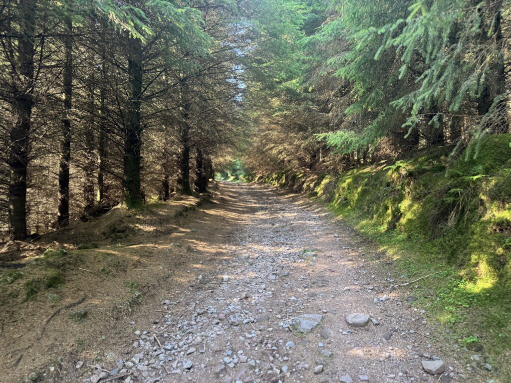
At one point, we spotted water bubbling up from the ground beside the trail. This led to a big discussion as to whether this might be a natural spring. Or just a burst pipe under the ground!
Leaving the Forest and Crossing the River
After approximately 2km, we emerged from the forest and reached a gate and stile. Walkers have two different directions to take here. The main track continued straight ahead towards Lough Muskry. This would actually be the trail we would use to return from the lake later in the day.
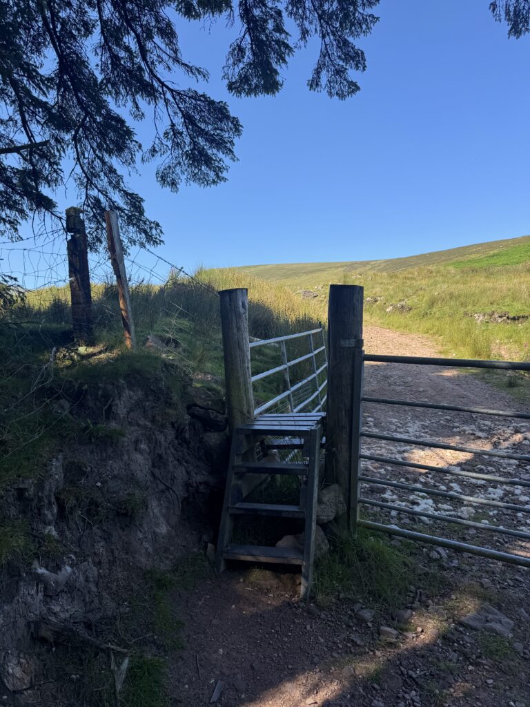
However, we weren’t planning to visit Lough Muskry just yet. Instead, we crossed the stile and turned left, following a much smaller trail that would take us towards the river. Now that we found ourselves right beside the water, we needed to cross it to continue our walk.
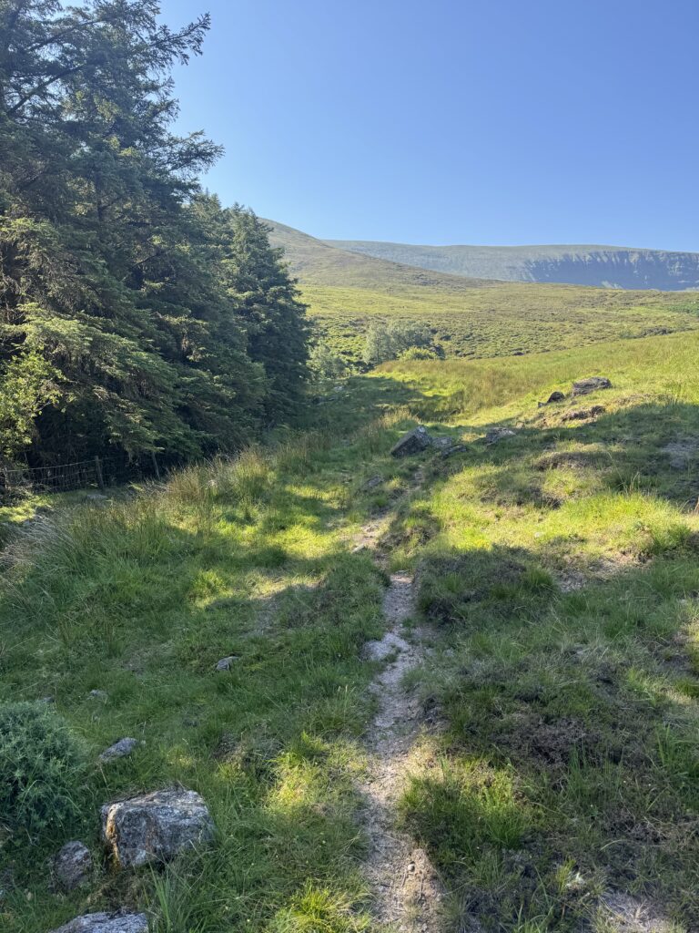
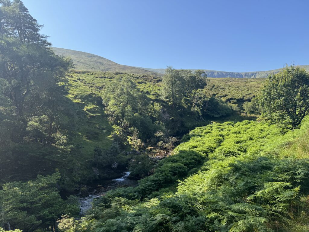
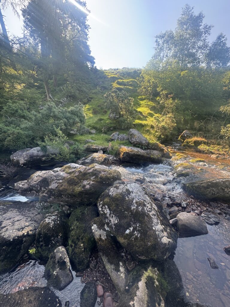
The river flowed between a series of large rocks, with the surrounding slopes covered in grass, bushes and trees. It was a lovely little spot, particularly with the sunlight coming through the trees. We used the rocks to help get across. We didn’t experience any issues but again, we completed this walk in the height of summer. Water levels might be significantly higher in Winter months where more caution would be needed.
Climbing Towards Greenane Mountain
After crossing the river, we picked up a narrow trail running along the edge of the forest. We followed this for a while before gradually leaving the trees behind and moving out onto the open mountainside.
From here, the route involved a steady climb uphill. For the most part, there was a reasonably clear trail to follow through the grass and heather. However, as we gained height, the path became increasingly difficult to make out.
We lost it in a few places and needed to pick our own way across the mountainside. Given the firmness of the ground, the lack of a defined trail didn’t prove much of a hindrance.
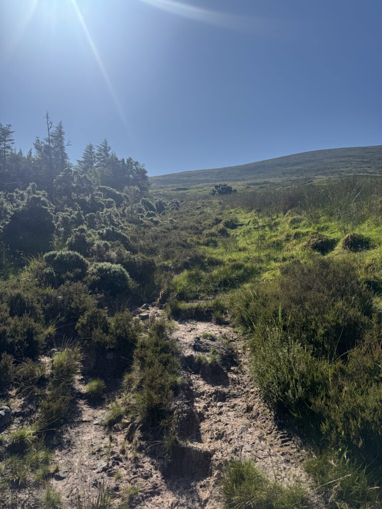
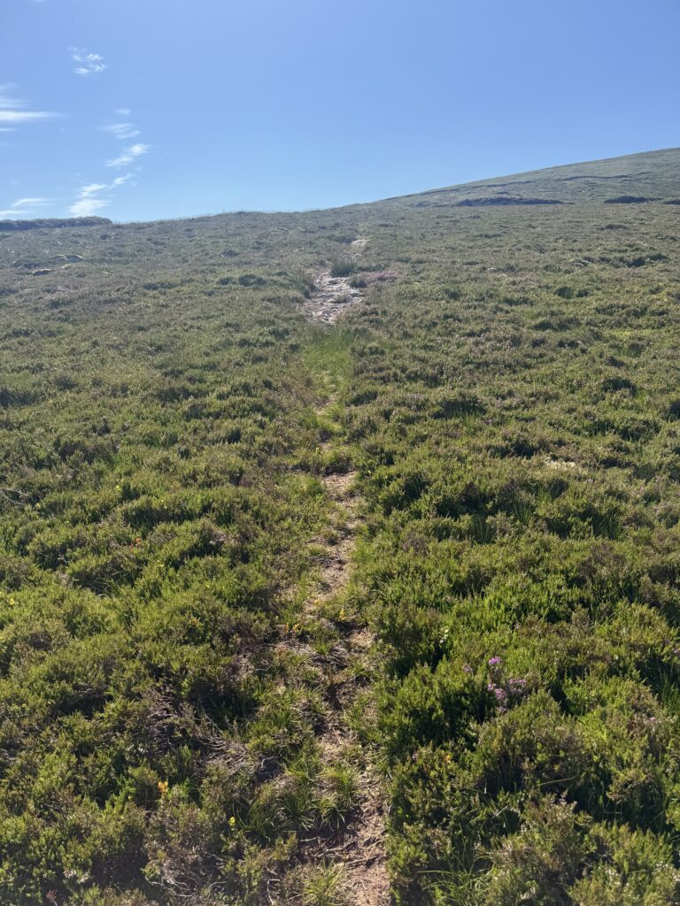
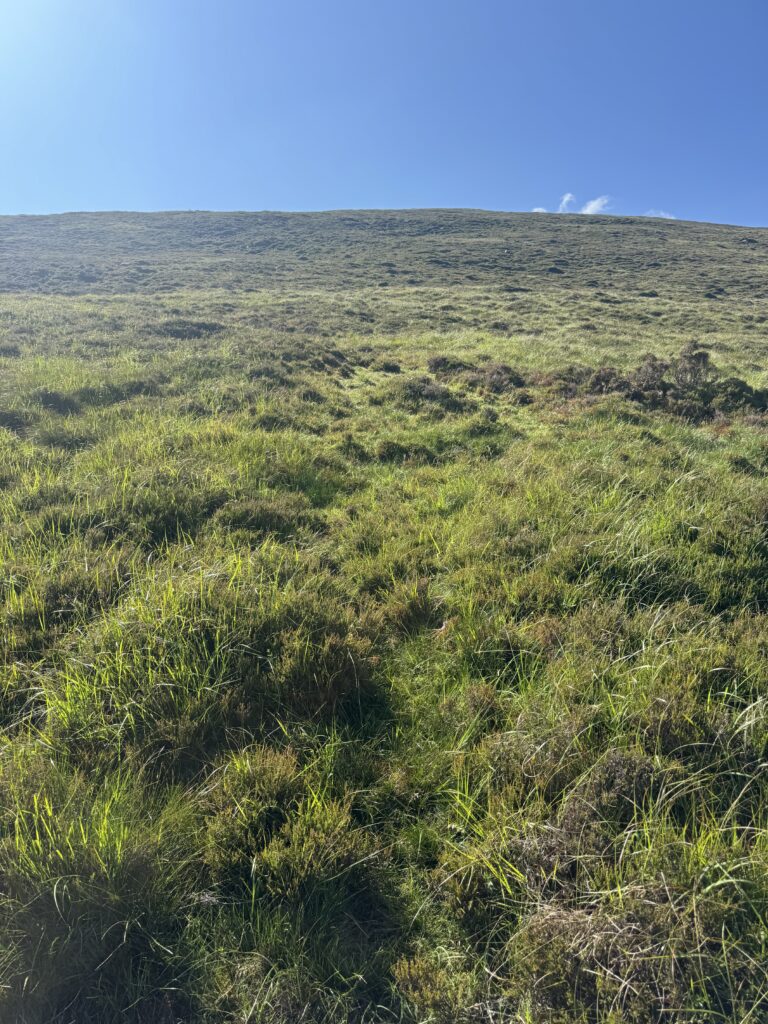
As we climbed higher, the views across the Galtee Mountains became increasingly impressive. I could clearly see Cush, Galtybeg and Galtymore in the distance. They looked very different to when I tackled the Galtymore Loop in horrendous rain conditions previously.
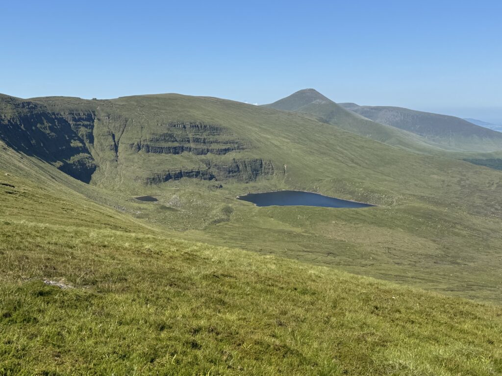
Today, the surrounding hills stretched away into the distance in glorious sunshine. It was one of those days when you really appreciated making the effort to climb a mountain.
Eventually, we reached a broad ridge, where the trail became much easier to follow. The hardest part of the ascent was now behind us. We could now really enjoy the walk towards Greenane’s summit.
An Unexpected Encounter on the Mountain
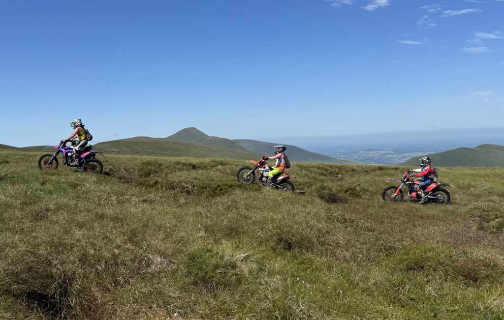
As we made our way towards Greenane, we came across something I certainly hadn’t expected to see. Three lads on scrambler bikes!
They came riding across the grassy mountainside, making their way along the ridge. I’ve encountered plenty of interesting things while hiking over the years, but three motorbikes passing me high up on a mountain definitely isn’t something that happens every day. Another sign of the good weather, that they felt comfortable enough with the ground to chance the bikes up here.
I wasn’t particularly happy to see these bikes up on the mountain. Off-road vehicles can cause significant environmental damage, including soil erosion, vegetation loss and disturbance to wildlife. Plus, it rather took away from the whole reason we were out there in the first place – to spend some time in nature.
There wasn’t much we could do about it though. So instead, I took a nice photograph of all three riders, with the Galtee Mountains stretching away behind them. At least I captured this unusual sight!
Dave and I then continued towards Greenane’s summit which we could see in the distance.
Reaching the Summit of Greenane Mountain
Greenane stands at 802 metres. It is one of the higher mountains in the Galtee range. The summit area is fairly broad, with a trig pillar marking the top. We were fortunate to have fantastic views in every direction.
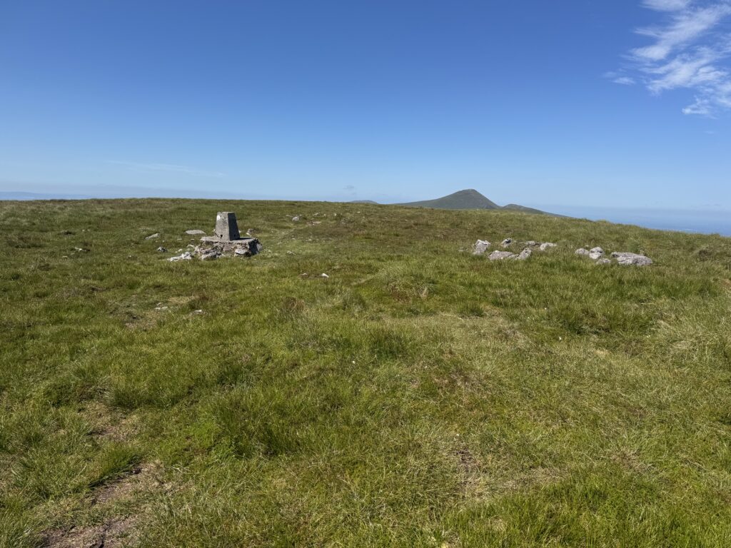
The sky was a beautiful shade of blue, with very little cloud to interfere with the scenery. We could see across the surrounding mountain range and out towards the lower countryside beyond the Galtees.
Having reached the summit, we now needed to continue westwards towards Greenane West and the next stage of our planned route. However, before getting there, we had another interesting landmark to visit.
O’Loughlin’s Castle – Not Quite What I Expected!
One of the things I had been looking forward to seeing on this hike was O’Loughlin’s Castle. I’d noticed the name while looking at the route beforehand and naturally assumed that we would be passing the ruins of an old castle.
I thought it would be an interesting historical feature to explore, particularly in such a remote mountain setting. As it turns out, I probably should have done a little more research!
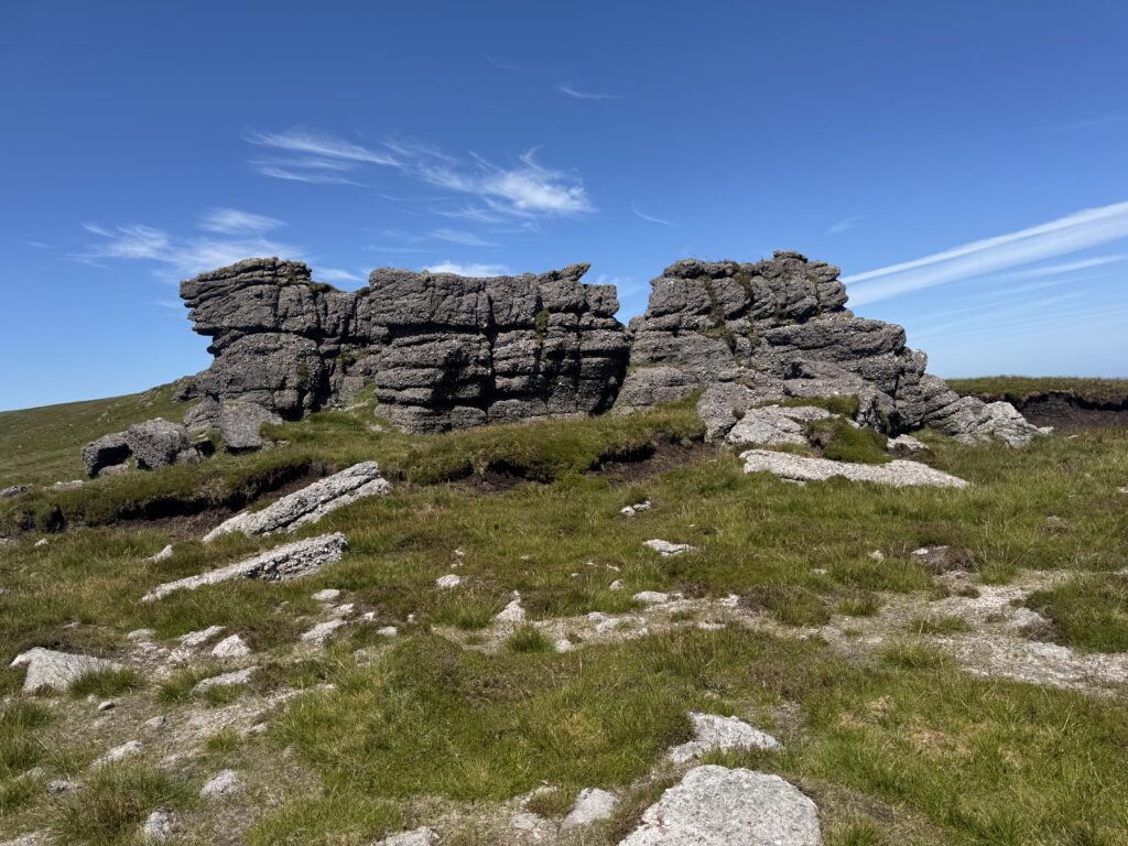
O’Loughlin’s Castle isn’t actually a castle at all. Instead, it’s a distinctive natural rock formation that looks like a castle from a distance. According to local folklore, the formation was named after an outlaw who apparently used to frequent the area. Unfortunately, there doesn’t seem to be much information available about who O’Loughlin actually was.
Bypassing Greenane West
Our original AllTrails route involved continuing along the ridge towards Greenane West, before making a sharp turn north.
Given the ground conditions were excellent, we decided to try to take a more diagonal line rather than take the sharp turn. Taking this slightly lower route would allow us to shorten the walk a little bit. The heat of the day had started to take its toll on us a bit. We still passed relatively close to Greenane West, but we didn’t actually reach the summit. At this stage, we were still intending to continue with our original plan and make our way towards Knockastakeen.
That was about to change!
Changing Plans for Lough Muskry
As we continued across the mountainside, we began to get increasingly impressive views down towards Lough Muskry. The lake looked intriguing. Eventually, the temptation became too much.
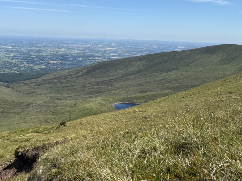
We decided that rather than continuing onwards towards Knockastakeen, we’d head down to Lough Muskry and take a closer look.
It was a spontaneous change of plans, but one that made perfect sense given the conditions. The grassy mountainside offered a reasonably straightforward way down, and we could see the lake clearly below us. Plus, it meant shortening the walk considerably and having an easier path to get back to our starting point. This felt like a good idea given the sweltering heat.
We crossed the open slope towards the water, making our way down without encountering any major difficulties. That said, I would emphasise that we completed this section in excellent summer weather. The absence of a defined trail means that navigation and ground conditions could be considerably more challenging at other times of the year.
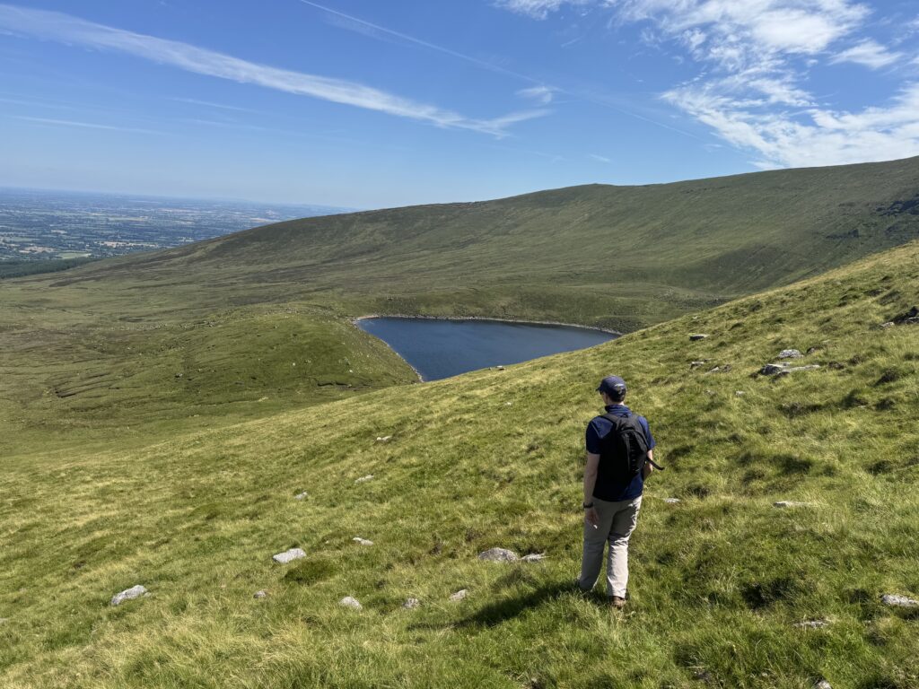
As we descended, the views of Lough Muskry just kept getting better. I was already beginning to think we’d made the right decision.
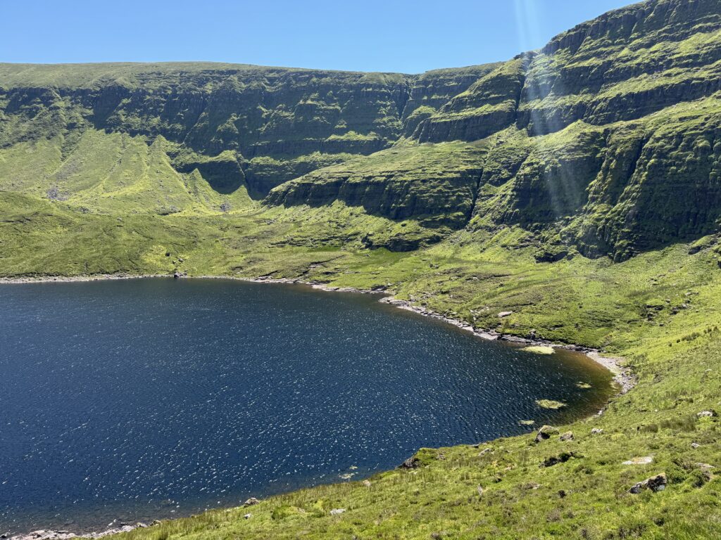
Lough Muskry – The Highlight of the Hike
When we finally reached the shore of Lough Muskry, I was absolutely blown away by the scenery. What a spectacular place!
The lake sits beneath enormous cliffs, with steep, rocky mountainsides rising dramatically above the water. The contrast between the dark blue lake, bright green slopes and clear blue sky was incredible.
Dave and I found a spot beside the water and sat down for about five minutes, just taking it all in. The cliffs were probably the most impressive feature. Their enormous rocky faces rose high above the lake, creating a fantastic backdrop to the water below.
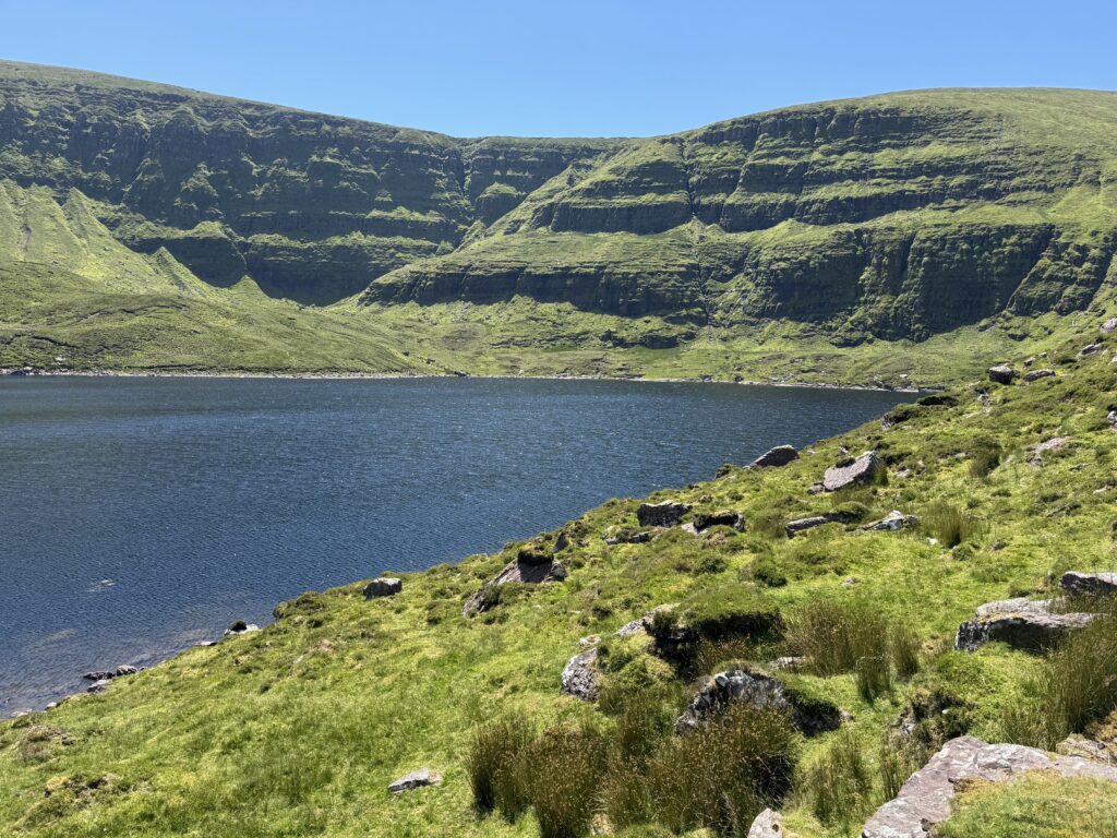
We weren’t the only people enjoying Lough Muskry either. There were a few groups scattered at either end of the lake, making the most of the beautiful weather. I could certainly see the attraction. What a fantastic place to spend a sunny summer afternoon!
Although we’d originally intended to climb Knockastakeen, I couldn’t have been happier with our decision to visit the lake instead. In fact, I think Lough Muskry was probably the highlight of the entire hike.
Returning to the Forest
After spending some time admiring Lough Muskry, we eventually decided it was time to get moving again.
Fortunately, there was a well-defined gravel track leading away from the lake towards the forest. This was the same route that the other visitors had used to reach Lough Muskry.
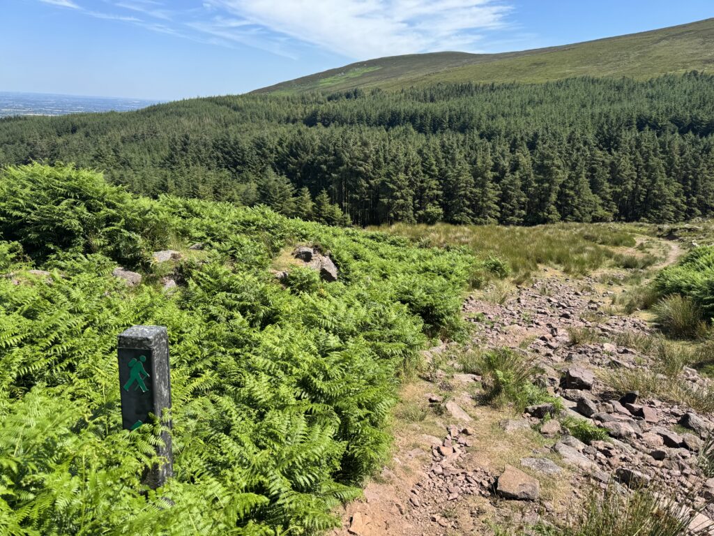
We followed it back towards the woodland where we’d started our hike earlier in the day. The walking was considerably more straightforward now. Unlike the sections we’d covered higher up the mountain, there was a clear track to follow, so navigation was no longer much of a concern.
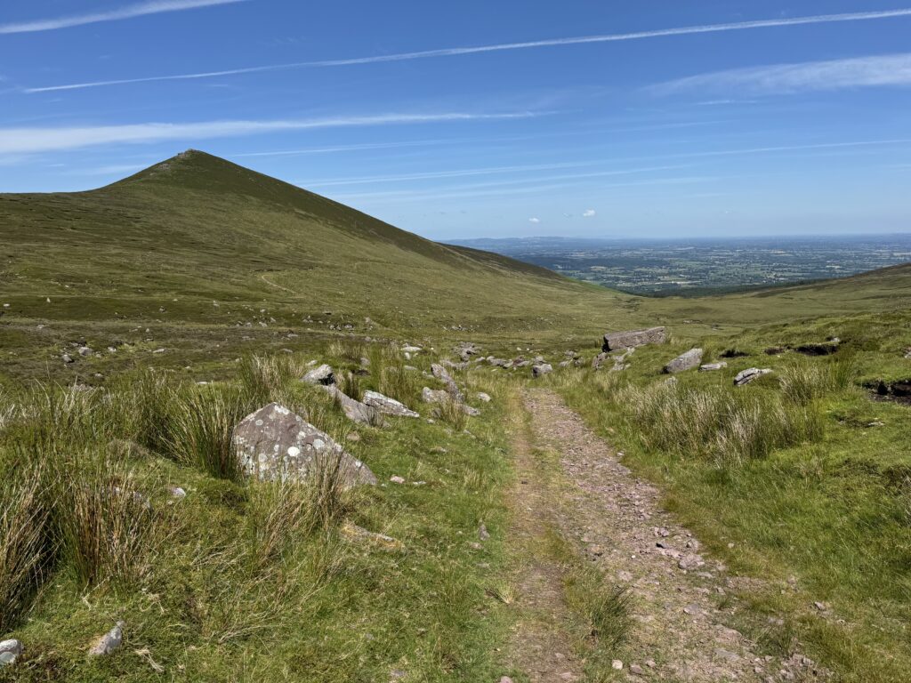
The easier return via Lough Muskry was definitely the right decision to take. Eventually, we re-joined the forestry track we’d followed earlier in the morning. From here, it was simply a matter of retracing our steps downhill towards the car.
Completing the Greenane Mountain and Lough Muskry Loop
We arrived back at the trailhead after approximately five and a half hours of hiking. We’d covered 13.7km, with a total elevation gain of 731 metres. So, despite deciding to shorten our original route, we’d still completed a substantial mountain walk.
The final few kilometres had been particularly straightforward, with the forestry road making things very easy on the feet. It had been a hot day though and I think both Dave and I felt happy to be finished! We got into the car and started discussing what ice cream we wanted to get on the way home.
Other Walks in the Galtee Mountains
I’ve completed several excellent hikes in the Galtee Mountains over the years, and they remain one of my favourite mountain ranges in Ireland.
If you’ve enjoyed reading about this article about the Greenane Mountain and Lough Muskry Loop, you might also be interested in the following walks:
- Lyracappul Loop Walk – A challenging mountain loop taking in one of the highest peaks in the Galtees.
- Temple Hill Walk – A rewarding mountain hike on the western side of the range, although I certainly didn’t have the same luck with the weather on that occasion!
- Galtymore Loop Hike – A fantastic route taking in the highest mountain in the Galtees.
- Glengarra Wood Walk – Perfect walk in nearby Glengarra Wood if you don’t feel like taking on any mountains!
- Lough Muskry – Or simply just take the track directly to Lough Muskry. You don’t have to summit Greenane to see the lake. It’s a straightforward 4.4km from the car park to get there. So the out and back comes in at just under 9km. A perfect way to spend a Summer’s day.
Each of these walks offers something a little different, but all provide excellent opportunities to explore this beautiful part of Ireland.
Final Thoughts on the Greenane Mountain and Lough Muskry Loop
I really enjoyed this hike. We’d made an early start from Dublin with the intention of completing a fairly substantial mountain loop, taking in Greenane, Greenane West and Knockastakeen.
However, the day didn’t quite go according to plan. After reaching Greenane’s summit, we spotted Lough Muskry and decided to change our plans completely.
Looking back, I think this was probably the best decision we made all day. The scenery around Lough Muskry was absolutely spectacular. Sitting beside the water for a few minutes, taking in the views, was one of those experiences that reminded me why I enjoy hiking so much.
And given the heat of the day, returning along the easier trail through the forest rather than taking on another mountain was probably a sensible decision too. At nearly 14km with significant elevation gain, we’d still completed a good day’s hiking.
Greenane is certainly worth climbing, but for me, the real star of this route was Lough Muskry. If you’re planning a hike in the Galtees, I’d strongly recommend finding an opportunity to visit it.
What a fantastic spot!
Travel Essentials
Planning a walking trip in Ireland? These are some of the resources I regularly use when organising my own adventures.
| Travel Essential | Recommended Resource |
| Accommodation | Booking.com |
| Tours & Activities | Viator or Getyourguide |
| Car Hire | Discovercars |
| Maps | Alltrails |
Ad / Affiliate links: Some of these links earn Wild Irish Walks a small commission if you make a booking, at no extra cost to you.
For more information, visit my Travel Booking Resources page