
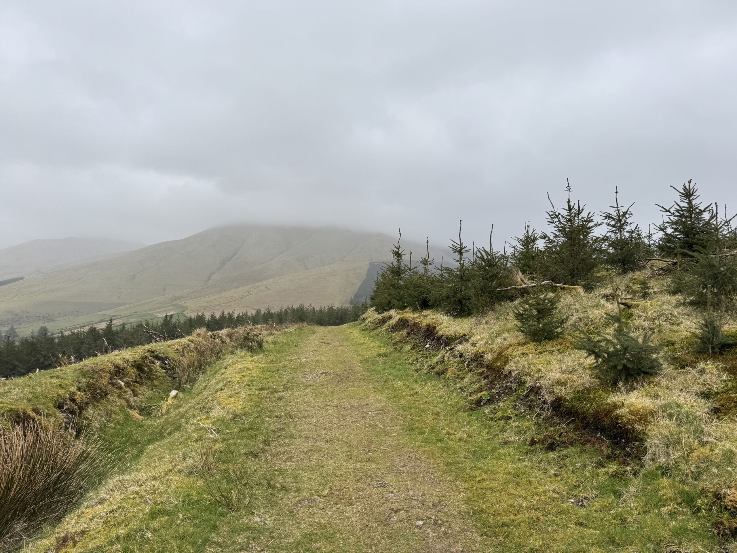
In hiking circles, you’ll often hear the phrase, “There’s no such thing as bad weather, only bad clothes.” It’s a nice sentiment, encouraging people to get outdoors regardless of the forecast. After our recent Temple Hill walk in the Galtee Mountains, though, I’m now convinced it has absolutely no basis in reality when it comes to hiking in Ireland.
The rain started not long after we set off. The higher we climbed, the more exposed we became, the more the wind battered us. The rain came at us sideways. Despite my very good rain jacket, I couldn’t stay dry with water coming down my neck and saturating the layers underneath.
To borrow another well-worn saying, however, “We’re not made of salt.” So, despite the conditions, we pressed on and completed the Temple Hill walk.
I tackled the hike with my cousin David. In good weather, this is known as a fantastic mountain walk, with sweeping views across the Galtees and beyond. Even in the driving rain, though, I thoroughly enjoyed the day. Catching up with David is always good. In addition, reaching the summit after battling the elements brought with it a real sense of achievement.
If you’re planning to take on the Temple Hill walk, I sincerely hope you’re rewarded with better conditions than we were. Whatever the weather has in store though, this guide covers everything you need to know before setting off.
Temple Hill Walk Details
Despite all the bravado above, we actually intended to climb both Temple Hill and the neighbouring Lyracappul Mountain across the valley. Visibility between the two mountains became too much of an issue though. We could hardly see in front of us, nevermind find a good path to cross the soft bog land of the valley.
The below details relate to the Temple Hill walk only
- Distance: 8km
- Elevation gain: 579m
- Time required: 3.5 hours should be sufficient to get up and down Temple Hill
- Grade: Difficult – the navigation to the top is straightforward enough but some extremely steep sections make this a tough walk.
Temple Hill Walk Route Map
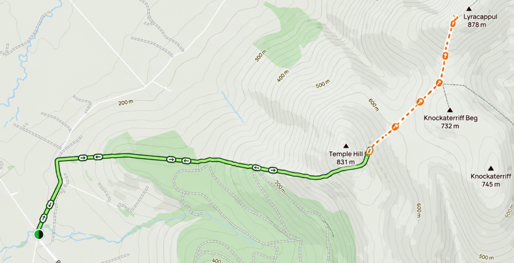
Unfortunately, I wasn’t able to find a route map online covering the Temple Hill walk on its own. The closest available option is the Temple Hill and Lyracappul route on AllTrails, which is the route we originally intended to follow before poor visibility forced us to turn back.
The map below therefore includes both peaks. If you’re only planning to climb Temple Hill, simply retrace your steps from the summit back to the car park in Anglesboro rather than continuing across the valley towards Lyracappul.
What’s in a Name
Temple Hill is something of a double misnomer. Firstly, standing at 783m, it is unquestionably a mountain rather than a hill. Secondly, there is no definitive explanation for the “Temple” part of its name. One theory is that the summit mound may have been an ancient burial site. Another is that the cairn resembles the outline of a church or temple when viewed from below
Getting There
After driving from Dublin (c. 2hrs drive), I arrived at the small village of Anglesboro just after 9am. I parked beside David in front of what looked like a little parish hall. See google maps link here.
Unfortunately, there are no public transport options for getting to the village.
Starting the Temple Hill Walk
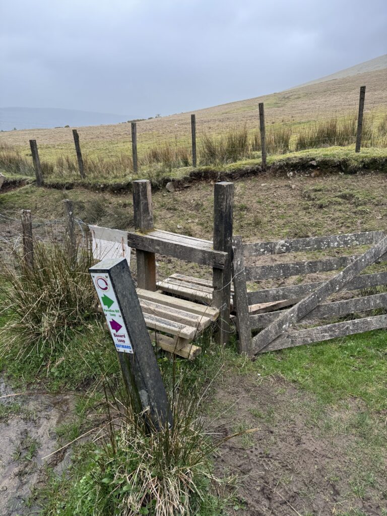
We headed north along the road for 800m. We then needed to take a right turn on reaching a gate and stile.
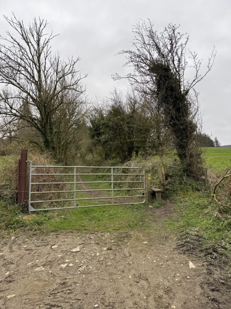
You will notice here signs for a couple of other walks:
- The Paradise Hill Loop – 7km that turns west before reaching the summit of Temple Hill and circles back through the forest.
- Benard Loop – 13km trail which extends the Paradise Hill Loop
I haven’t completed these two trails but include links to maps from the Sports Ireland website above.
Between the Ditches
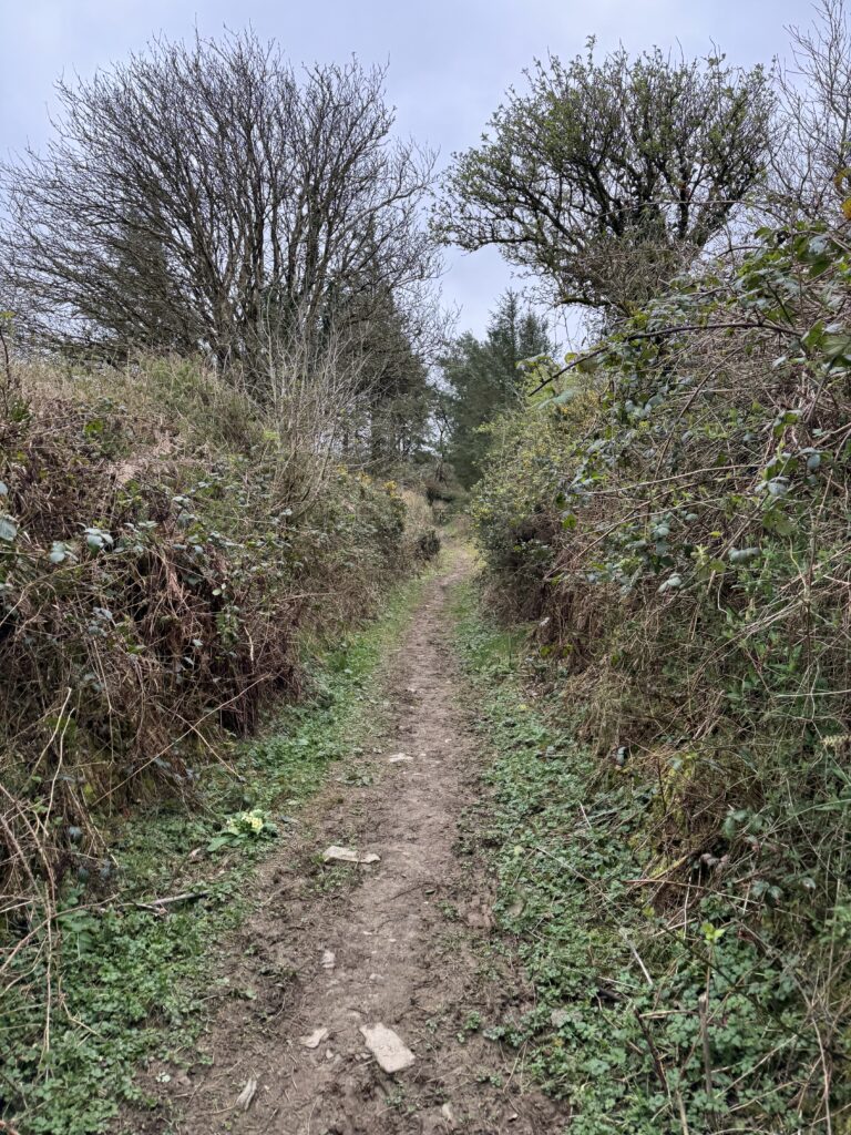
After climbing the stile, we followed the trail upwards. The two high ditches on either side reminded me of the start of the Blackstairs Mountain hike on the Carlow/Wexford border.
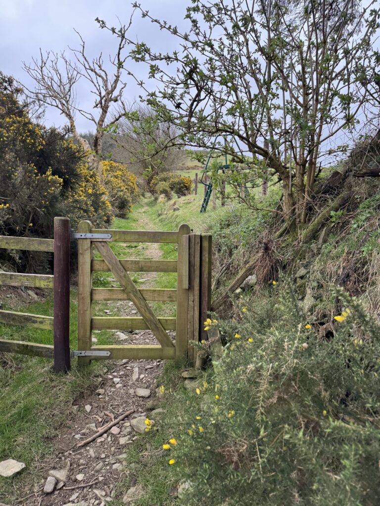
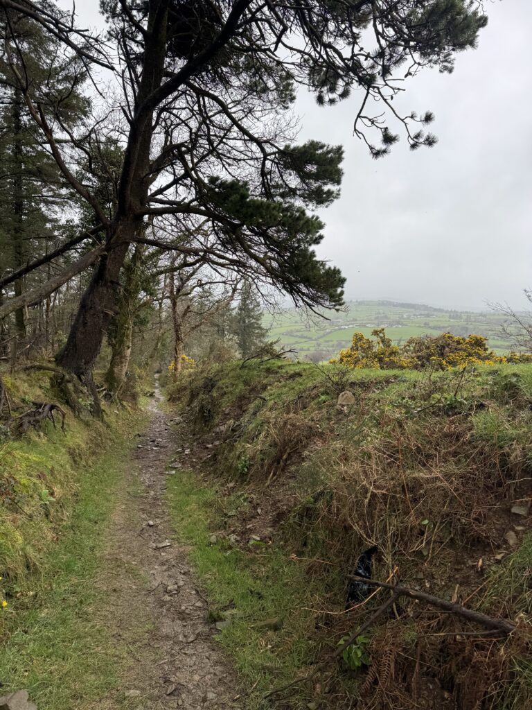
Soon we found ourselves on an established forest path as we moved through evergreen woods.
Around the Edge of the Forest
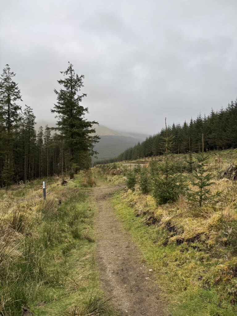
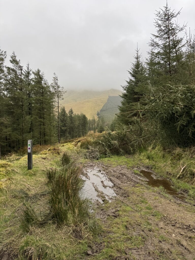
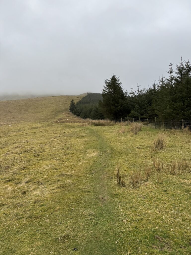
After 2.2km of walking, we went over another stile and around a sheep wire fence. We were now out in the open with the forest behind a fence to our right. We followed the visible trail in the grass and moved upwards. The route gets quite steep from this point. Ahead of us, we could see the cloud cover starting just at the end of the tree line.
The clouds seemed to be closing in around us, bringing with them the distinct feeling that a tough slog lay ahead.
Into the Open
Although steep, the hardship didn’t really start until we got up past the tree line after around 3km of walking. Now, with no shelter from the elements, the wind really started to whip up and we felt the first (of many) drops of rain.
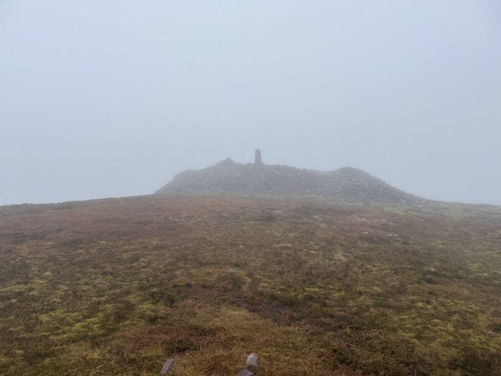
We continued onwards and upwards for the last kilometre or so to the top. The route goes pretty much straight up before sweeping around to the left along the broad upper reaches of the mountain to get to the stone cairn that marks the top.
Given the very poor visibility at this stage, we needed to rely on GPS a bit to make sure we were on the right track.
Top of the Temple Hill Walk
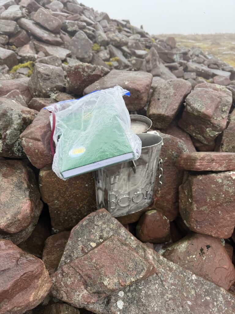
We battled through the poor visibility, gales and rain to get to the summit. One thing to look out for at the top is a guest book for hikers to sign. It’s stored in a little post box in the stones. By this stage, my hands were too wet and cold to start fiddling around to sign it but it’s a nice little touch. Definitely something you don’t see too often at the top of a mountain.
Towards Lyracappul?
With Temple Hill conquered, our thoughts turned to Lyracappul to the north east. We continued along the trail and headed down the eastern slope of Temple Hill.
On reaching the floor of the valley, the ground became extremely soft and boggy underfoot. That combined with the continued low visibility meant we had a decision to make.
We made the wise decision to admit defeat at this point. It felt too difficult to attempt to pick our way through the bogland in such difficult weather conditions. As such, we decided to turn back and retrace our steps to Temple Hill.
Back to Anglesboro
Reaching the limited shelter of the tree line helped a little, but the rain was constant by now. We stopped under some trees to get some food on board. The hot tea helped but the rain dripping down my sleeve and making my sandwiches a bit soggy did feel a bit miserable. It’s not all glamour being a hiker!
Despite the conditions, completing the Temple Hill walk brought a huge sense of satisfaction—although that feeling only properly arrived once I had changed into dry clothes and spent ten minutes sitting in the car with the heater blasting.
Several people have since told me that Temple Hill offers wonderful views in clear weather, so don’t let our experience put you off. I may even have to return someday to see what we missed.
And, in case you’re wondering, I eventually did reach the summit of Lyracappul. On my second attempt, I approached it from a different direction using this route.
For another excellent hike nearby, read my guide to the Galtymore Loop.