
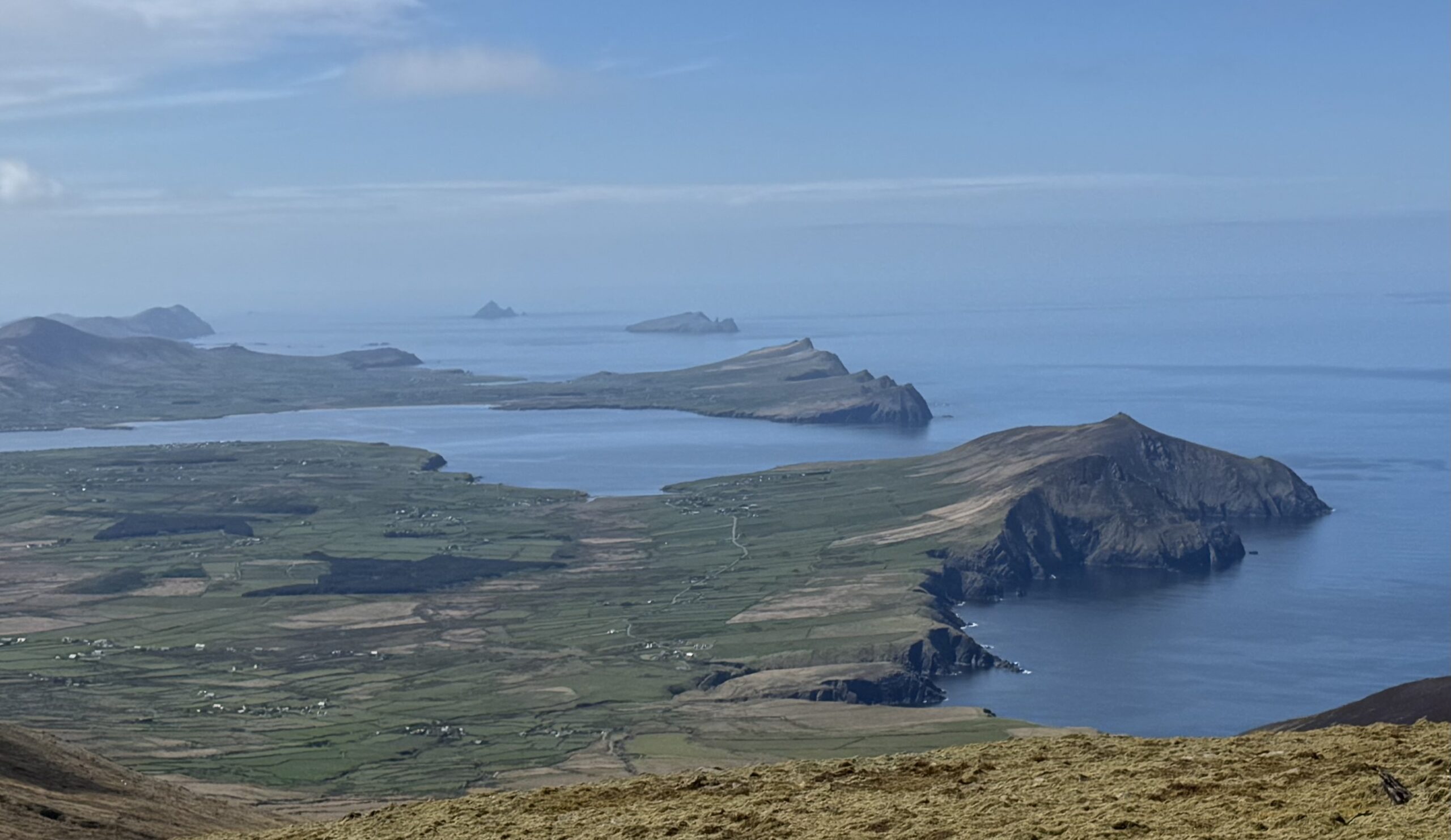
You simply just need to do this Masatiompan and Sauce Creek walk. I found it amazing.
Some of the highlights of the 15km hike include spectacular cliff walking above Sauce Creek, a World War Two plane crash site and a 1,500-year-old Ogham stone. You’ve also got breathtaking views of Ireland’s Atlantic coastline throughout. Masatiompan is one of the highest mountains in Ireland standing at 762m – check out details on the 40 highest mountains in Ireland here.
In particular, there are incredible views of the Three Sisters peaks on the north-western edge of the Dingle Peninsula, as well as the distinctive Blasket Islands sitting further out in the Atlantic.
Masatiompan and Sauce Creek Walk Details
You have a few options for completing the Masatiompan and Sauce Creek walk. We essentially completed an out-and-back walk to the top of Masatiompan with a spur out to the right for Sauce Creek.
Many people don’t actually take the detour out to Sauce Creek at all. Please don’t skip this section though as we really loved it. It definitely adds to the hike and proved to be a highlight of the entire walk.
- Location: The northern section of the Mount Brandon Range on the Dingle Peninsula in County Kerry.
- Distance: 15.4km
- Elevation gain: Masatiompan itself stands at 762m and is the 30th highest mountain in Ireland. The Masatiompan and Sauce Creek walk has quite a few up and down sections so total elevation gain over the hike is 840m.
- Time required: It took us 5.5 hours but I’d allow for 6.5 hours when planning for this hike.
- Difficulty level: Difficult. The Masatiompan and Sauce Creek walk involves a long distance with significant elevation gain. The section between the Arraglen Ogham Stone and the top of Masatiompan is particularly steep.
Parts of this walk also overlap with the Dingle Way, the long-distance trail that loops around the Dingle Peninsula. Hence why you will see those yellow man trail markers in some places along the route. The Dingle Way climbs to the saddle below Masatiompan and passes directly by the Arraglen Ogham Stone. However, it doesn’t actually take you to the summit of Masatiompan or out to Sauce Creek. You’ll need to leave the Dingle Way if you want to experience these. Which is the advice I’d give to anyone thinking of doing the Dingle Way.
Masatiompan and Sauce Creek Route Map
I used the below AllTrails map for this hike. The map is good but causes a little confusion around the Sauce Creek section.
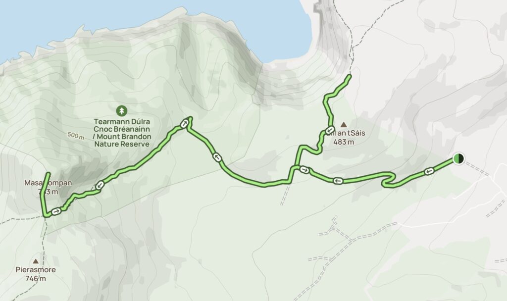
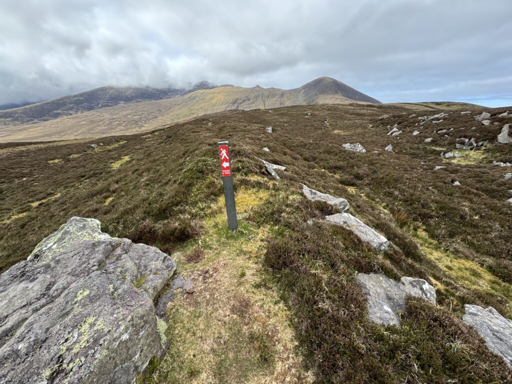
At one point, the AllTrails map tells you to go right, while the signposts on the trail tell you to go left to get to Sauce Creek. Both options actually work, but the conflicting directions did cause me to doubt myself for a little while. I’ll explain this section in more detail in the route description below.
What’s in a Name?
Masatiompan comes from the Irish ‘Más an Tiompáin’. Más translates as buttock, thigh or ham. In placenames, it can be used to describe a long, low or rounded hill because of its shape.
Tiompán has a number of meanings, including drum, hump or hollow. So, most sources translate Más an Tiompáin as something along the lines of “rump of the drum”. Which doesn’t make a huge amount of sense to me.
Interestingly, though, tiompán has even further possibilities. Logainm (the Placenames Database of Ireland) notes elsewhere that the meaning of tiompán in Irish placenames can sometimes be ‘standing stone’, while the word can also mean a deep, sheltered cove. What makes it interesting is that both a standing stone and a cove are very close by.
So, I’d like to think the name refers to the ancient Ogham stone on the saddle below Masatiompan. Or maybe even the arse of the deep, sheltered cove that is Sauce Creek.
Getting to the Start of the Masatiompan and Sauce Creek Walk
I completed the Masatiompan and Sauce Creek walk with Denis and Daniel. The three of us arrived at the Sauce Creek Walkway car park just before 10am on an overcast Sunday morning. The car park is small but luckily contained only one other car.
Setting Off on the Masatiompan and Sauce Creek Walk
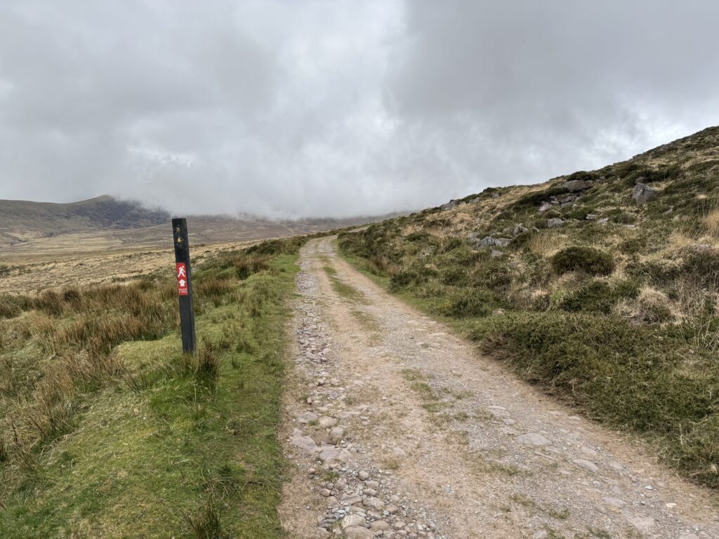
We found the initial navigation quite simple. We followed the track that starts at the car park. The trail gently sloped upwards and soon we had nice views behind us of Brandon Bay.
Ahead of us, the cloud cover worsened. It felt like this might be another mountain climb where visibility would be poor. Masatiompan lay straight ahead of us but unfortunately completely shrouded by clouds.
The Turn for Sauce Creek
Before attempting the climb to Masatiompan, we detoured to take in the stunning cove of Sauce Creek. To do this, we took a right turn after just over 2km of walking. The Sauce Creek loop is well signposted.
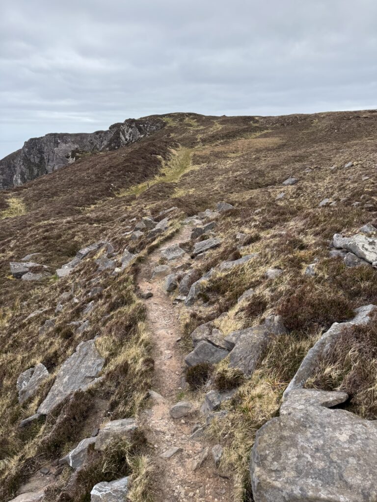
A couple of hundred metres after taking the right turn, we had a little bit of confusion. The AllTrails map advised us to go right. However, the signposts for Sauce Creek told us to go left. We continued following the AllTrails route. However, both directions will actually get you where you want to go. Our path got smaller the further we went and eventually petered out, but we were close enough to the cliffs by that stage to know where to go.
Looking Out Over Sauce Creek
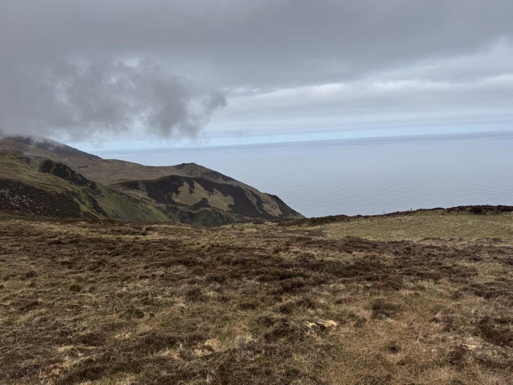
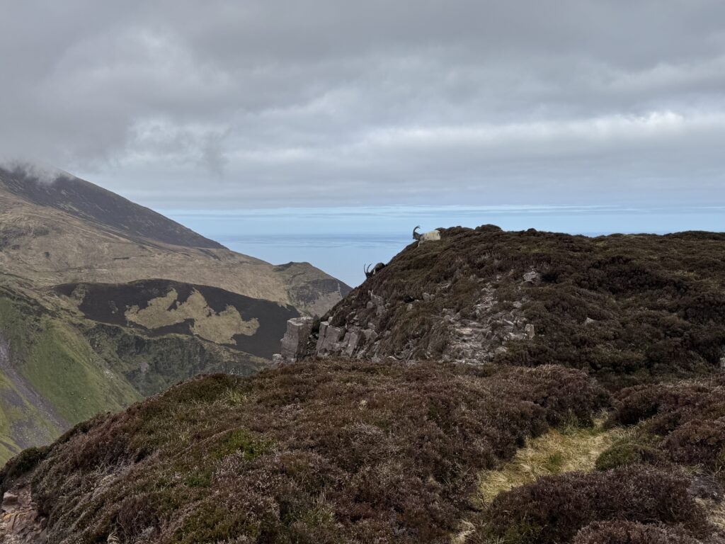
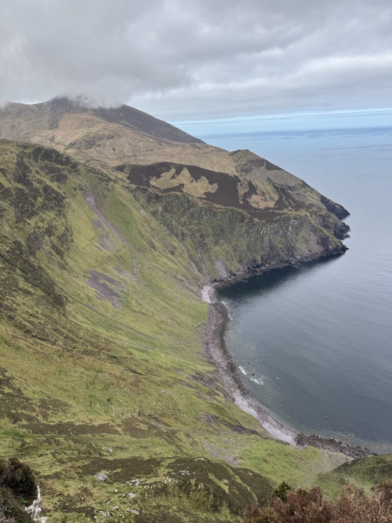
We turned right on reaching the cliffs and spent a good bit of time following the path and taking in the amazing views. The trail continues around the edge of the peninsula but we didn’t go the full way. We simply went far enough to get the best views of the cove. The cliffs drop dramatically to the sea below with the Atlantic stretching out in front of us.
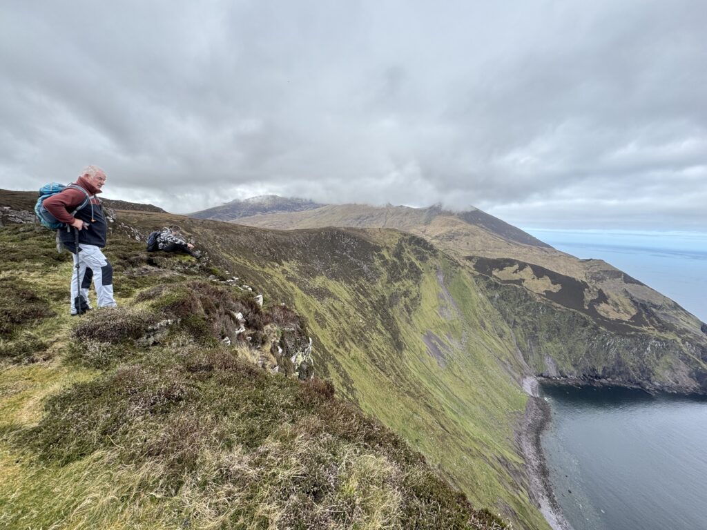
Around this point, we had one of those what a small world moments. We bumped into a solo hiker and got chatting to her. It turned out that she and Denis knew each other! Exactly the same thing would happen the next day on our Brandon Loop hike. I found it an amazing coincidence to meet someone you know on such a remote mountain hike. Maybe Denis just knows a lot more hill walkers than me!
After saying our goodbyes, we started back and retraced our steps. We needed to get back on the route to Masatiompan.
Masatiompan in the Distance
We were now facing towards Masatiompan again. For the first time that day, the peak emerged from the clouds and became visible to us. The weather seemed to be improving! Our excitement began to grow too.
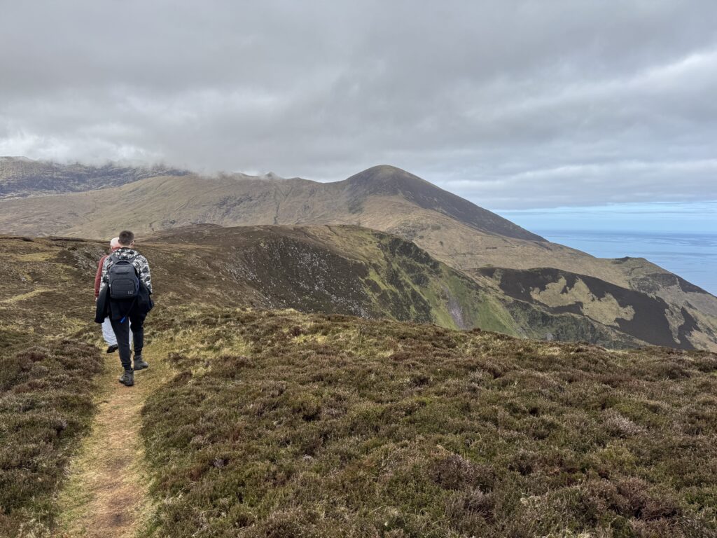
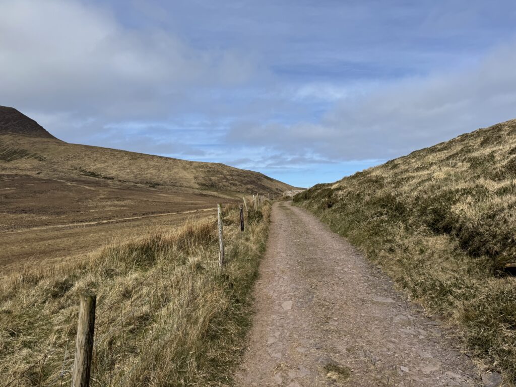
We followed the signs this time to complete our detour and get back to the gravel track towards Masatiompan. We had completed about 5km of walking by this stage. After another couple of hundred metres, we turned right and continued along the gravel path for another 1.5km or so. The trail gently undulated and the going felt easy. That would soon change!
The Climb to Masatiompan
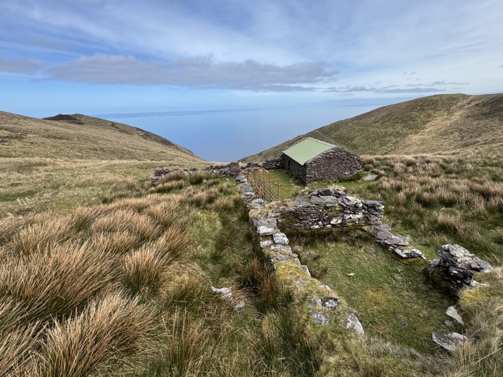
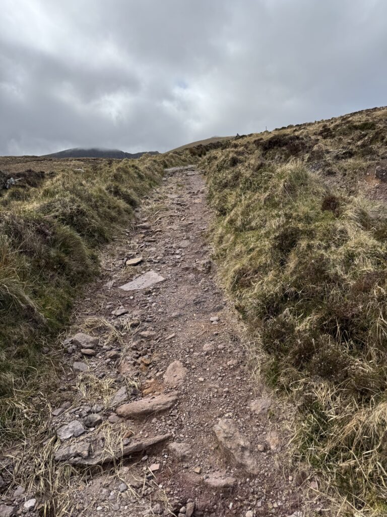
The turning point in this case actually was a turning point. We reached a small building with a green tin roof. This offered some lovely sea views. From there, the path took a sharp turn to the left. From here, the incline started to get much steeper.
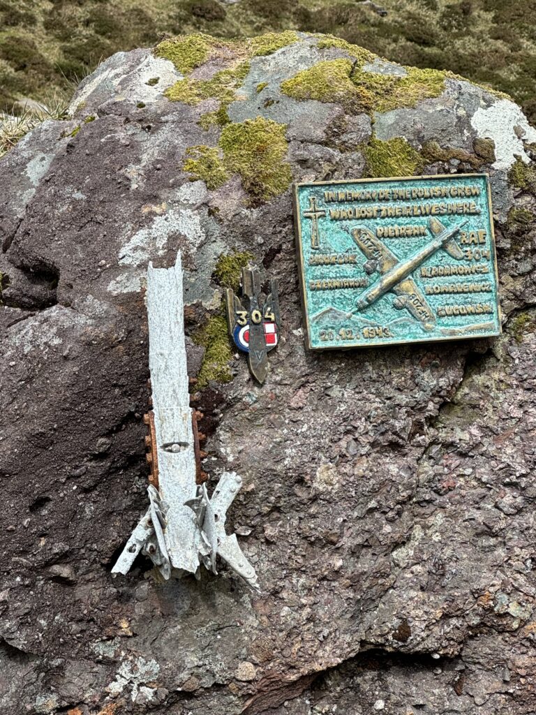
Crash Site on the Masatiompan and Sauce Creek Walk
Along the route upwards, we passed by a memorial to a World War 2 air crash site. The memorial relates to an RAF plane that crashed nearby in poor visibility in December 1943. All six members of the Polish crew died in the crash.
There are actually a number of World War 2 crash sites across the Kerry Mountains including the slopes of Mount Brandon and Knocknapeasta in the Macgillycuddy’s Reeks. We paused for a moment to read the information boards and remember the six crewmen who lost their lives here.
The Arraglen Ogham Stone
After the crash site, the trail became narrower and eventually turned into steps to help us up the steep mountainside. Thankfully, a saddle at the top of the steep slope offered a natural break after the strenuous climb upwards.
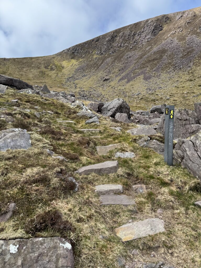
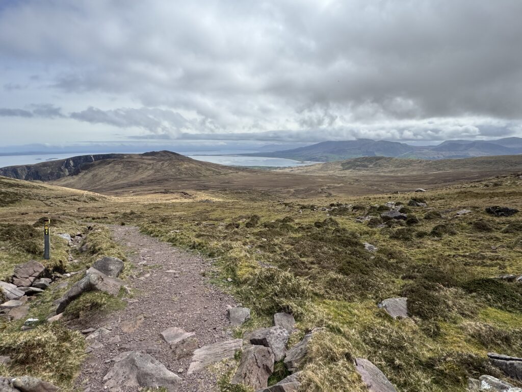
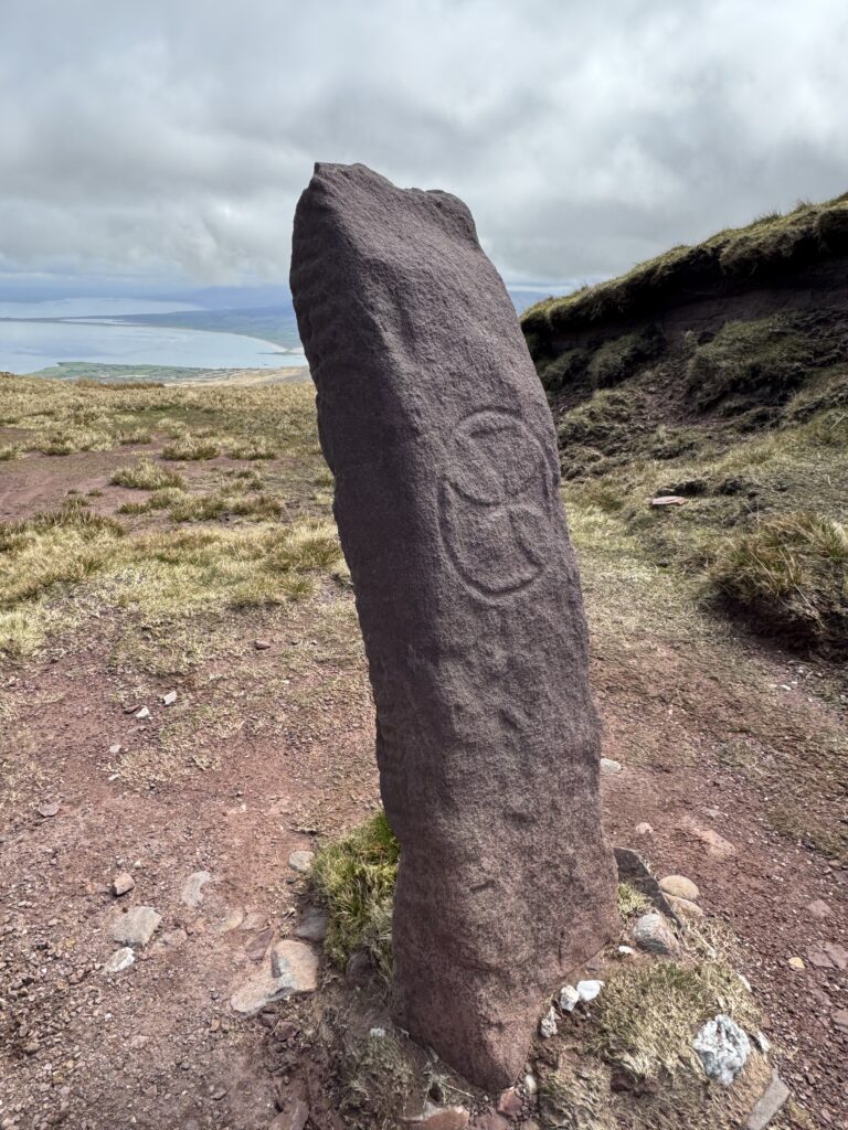
We passed by the Arraglen Ogham Stone after reaching the saddle. This turned out to be one of my favourite parts of the Masatiompan and Sauce Creek walk.
The stone dates from around 1,500 years ago. Its Ogham inscription can be translated as “of Rónán the priest, son of Comgán”. The stone also contains early Christian symbols, including a cross.
What an amazing feeling to be able to stand in front of and touch this piece of history. The spectacular views of Brandon Bay behind the stone certainly added to the feeling of wonder.
Why the stone was erected in such a remote location isn’t entirely clear. The mountain saddle may once have formed part of an old route through the area, meaning this spot might not always have felt quite as isolated as it does today. What we do know is that the stone has stood in this spectacular mountain landscape for around 1,500 years, commemorating a priest named Rónán.
The Last Climb to Masatiompan
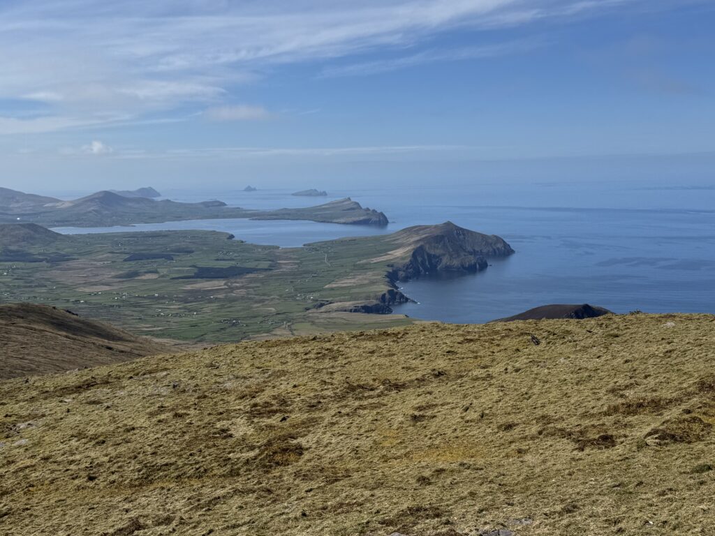
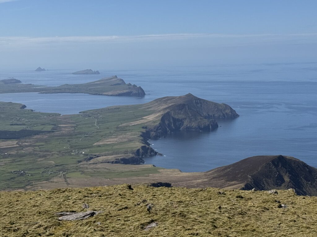
After a nice break at the saddle, we faced into the last steep climb of the day to reach the summit of the Masatiompan and Sauce Creek walk. The weather had really improved and already we had stunning views. To my left, the Three Sisters basked in glorious sunshine. Out past them, I could see as far as the Blasket Islands. I found it hard not to keep stopping to take in the views.
Despite this, I made good progress up the mountain. I actually caught up with a woman from another group as I ascended. We got to chatting and I found out she was from west Clare. I spoke about the wonderful times I had spent in that part of the world when I completed the Burren Way a few years ago. She then told me about some of the beautiful hikes she had completed recently.
As we neared the end of the conversation, I asked her what age she was. I was really impressed when she informed me she was well into her seventies. “That’s nothing though,” she added, pointing back to a group behind us. “That’s my husband down there and he is 82!”.
The Summit of Masatiompan
When we finally reached the top of Masatiompan, we spent some time with the group of octogenarians. I think Denis was a little disappointed he wasn’t the oldest person on the mountain at 69.
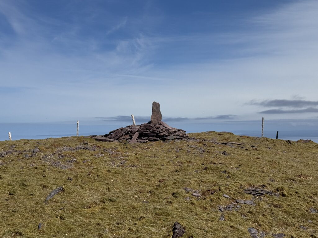
We had our tea and sandwiches looking out at the amazing views. To the east, we had Brandon Bay, with Mount Brandon itself looking very imposing to the south. To the west, the Atlantic coastline stretched out in front of us. The views of the Three Sisters and the Blasket Islands beyond them made every step of the walk up there worth it.
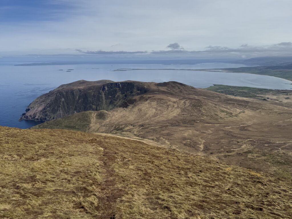
Simply amazing! This had turned out to be quite the walk.
The Return Leg of the Masatiompan and Sauce Creek Walk
We had a couple of options for the return to the car park. We could simply retrace our steps and go back past the Ogham stone and crash site memorial. Alternatively, there is a more direct route back towards the green tin-roofed shed we had passed earlier.
The latter has no real visible trail to follow and can be tough going, particularly in poor visibility. I’d recommend the simpler option to go back the way you came. It’s an easier trail to follow and you have the added bonus of getting to see the Arraglen Ogham Stone again.
While I found the return to the starting point much easier, the Masatiompan and Sauce Creek walk comes in at a total distance of over 15km. As such, I was really glad to get back to the car at the end of it.
I hugely enjoyed this fabulous hike on the Dingle Peninsula. From the cliffs above Sauce Creek and the ancient Ogham stone to the incredible views of the Three Sisters and Blasket Islands, there is so much packed into this walk.
This is one I would definitely recommend.