
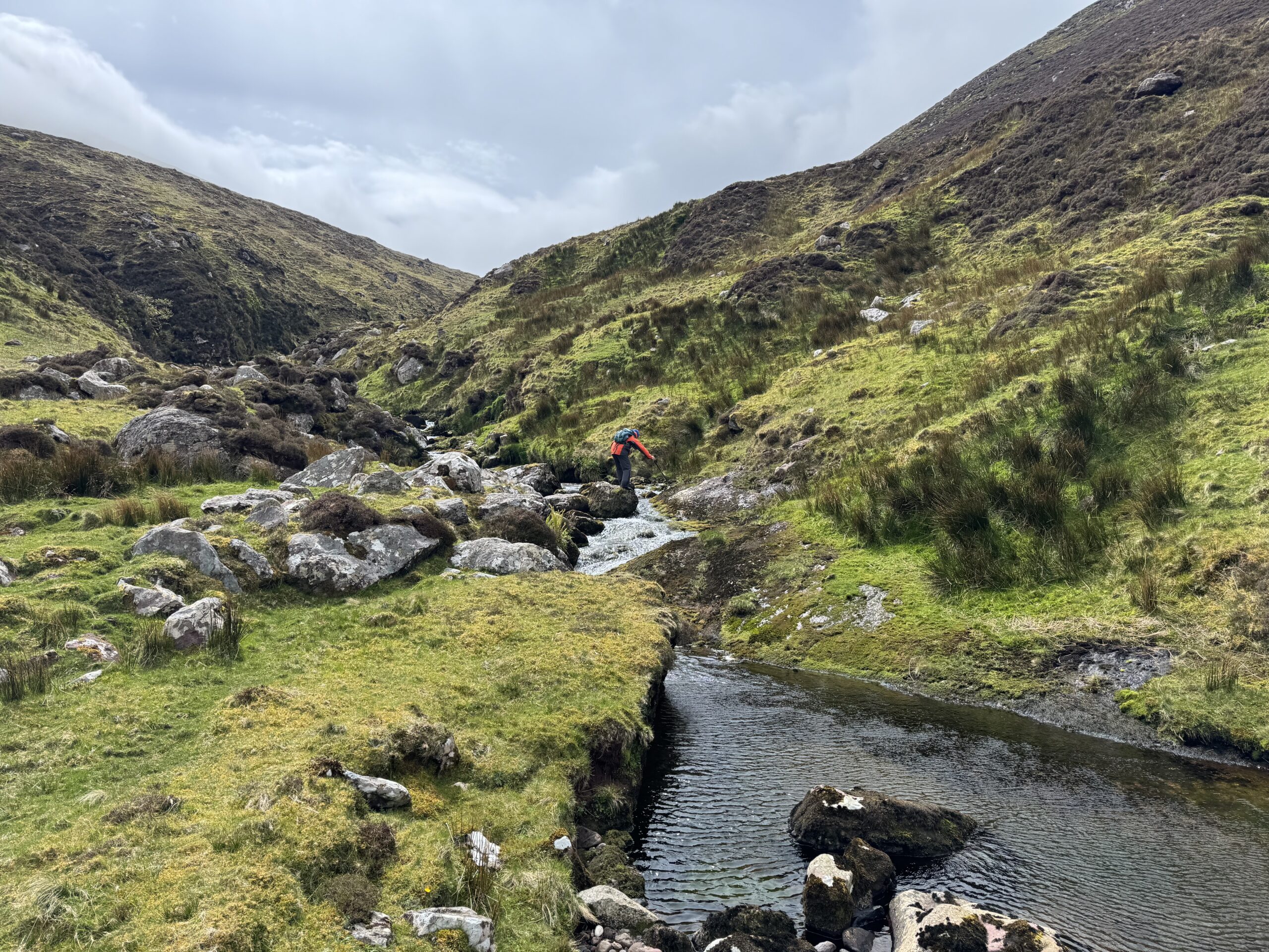
The Caherconree and Baurtregaum Loop was the final mountain walk of my week hiking around the Dingle Peninsula. So far, I had been incredibly lucky with the weather during my three days hiking on Masatiompan, Mount Brandon and Beenoskee. For this Caherconree and Baurtregaum Loop walk, that luck finally ran out. As such, it turned out to be a very different hike to the others.
I had arranged to meet Denis and Catríona, my hiking partners for the day, at the starting point at 9am. I’d made Dingle my base for the week, and it took about 40 minutes to drive from there to the trailhead, just beyond the village of Camp.
On the drive over, it became very clear that the weather had taken a definite turn for the worse. Low cloud was covering the mountains and everything looked much greyer and more unsettled than it had over the previous few days.
My wife Paula and our 3-year-old son had plans to visit the aquarium in Dingle while I was hiking. I was keen to get the walk done and get back to them as early as possible so they could tell me all about their adventures. In my head, I had been thinking that this was only an 11 km hike. A few hours would see us through most of it.
As it turned out, the mountain had other ideas.
Caherconree and Baurtregaum Loop – Walk Details
- Distance: 11.5km
- Time: It took us just over 5 hours to complete. While the poor weather conditions slowed us down, I think allowing 5 hours for this trail makes sense.
- Total Ascent: 923 metres
- Route Type: Loop
- Highest Point: Baurtregaum (851m)
- Difficulty: Hard. The lack of visibility really made this tricky to navigate. Even in good conditions, the Caherconree and Baurtregaum loop packs in a lot of elevation gain over a relatively short distance. Plus, you have a final descent through thick gorse.
Getting to the Caherconree and Baurtregaum Trailhead
As I mentioned above, the start of the hike is near the village of Camp on the Dingle Peninsula. To reach the trailhead, I turned off the N86 and followed a narrow country road uphill towards a small cluster of farmhouses. Here’s a Google Maps link to the location.
There isn’t really a formal car park here and parking is quite limited. I was able to pull in along the side of the road without causing any obstruction, but it is definitely somewhere you need to park considerately.
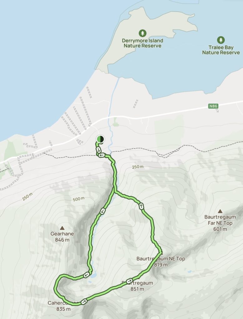
Map of the Caherconree and Baurtregaum Loop
We used this route from alltrails.com. You can find a link here. We followed the river as far as the lakes at the end of the valley. From there, we tackled a very steep, almost direct climb to reach the ridge. We then followed the ridge around, summiting both Caherconree and Baurtregaum. After Baurtregaum, we descended from the ridge on the opposite side of the river. We eventually needed to cross the river again before following the valley back towards the starting point.
Starting the Caherconree and Baurtregaum Loop
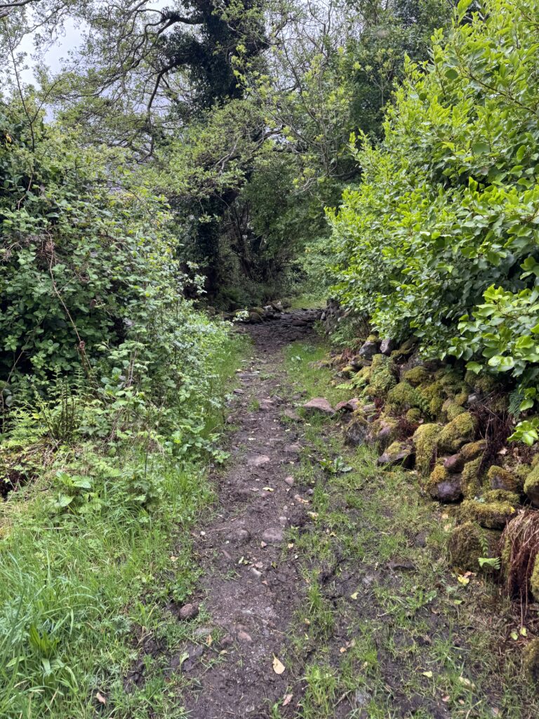
The walk started along a narrow, enclosed trail, with trees and thick vegetation on either side. It felt almost sheltered at first and there was very little to suggest what was to come later in the day. That changed fairly quickly.
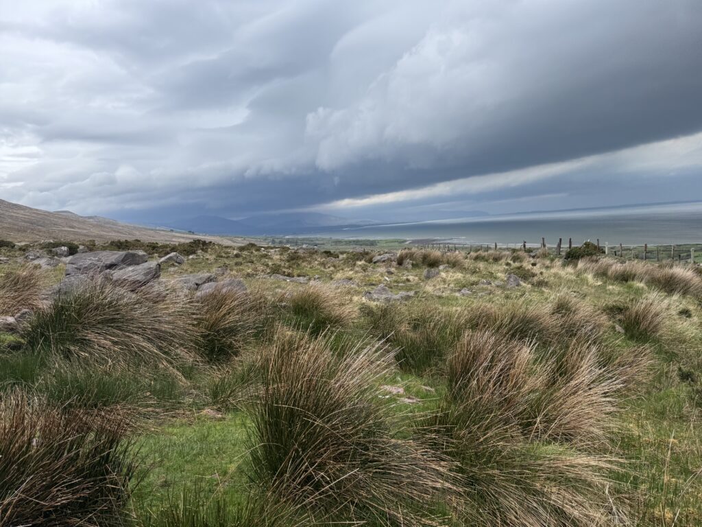
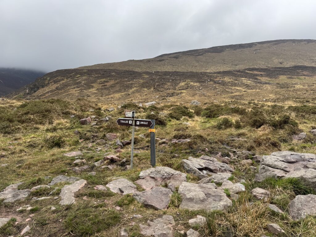
The trail soon opened out into the countryside and, not long afterwards, we crossed the Kerry Camino – a 57km trail between Dingle and Tralee. We passed signs pointing to both endpoints and a cute Kerry Camino stamp station.
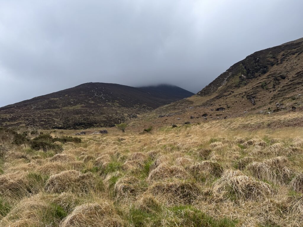
While the Kerry Camino continued around the mountains, we were heading directly into them. Two mountains rose up in front of us, with a broad valley running between them. That valley was where we needed to go.
Into Derrymore Glen
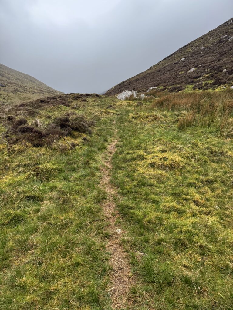
There was a path to follow through the valley, although it wasn’t always one single obvious trail. In places, several different lines had been worn into the ground. We generally just picked whichever one looked most obvious, and they tended to meander back towards each other anyway.
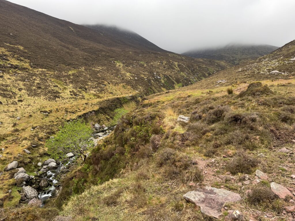
A river runs through the valley and this proved to be a very useful navigation aid. We knew that following it upstream would eventually bring us towards the lakes at the far end.
At the start, I wasn’t completely sure about how close we actually needed to stay to the river. It quickly became clear that rather than walking directly along the riverbank, the better line was to stay on the broad shelf of ground running above and alongside it.
So we kept higher up, with the river below us on our left as we made our way further into the valley.
Denis had a bit of previous experience of this trail so was able to answer these sorts of questions as we moved along. He had walked this part of the route before and had made it as far as the lake at the end of the valley. On that occasion, though, the weather had been bad enough that the group decided not to continue any further.
Given the conditions we were walking into, I had a niggling worry we might need to do the same thing today!
The Walk Towards Derrymore Lough
We gained height as we moved through the valley. Looking ahead, it felt like a gradual walk up towards the clouds. However, looking back still offered up some nice views.
The river snaked away towards the ocean, with the mountains rising on either side forming a wonderful frame. Even with the poor weather, it was a brilliant view.
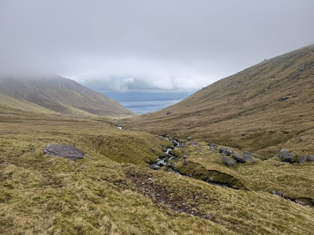
Eventually, we reached the first of the small mountain lakes tucked into Derrymore Glen. We followed the path around the right-hand side of the first lake before climbing higher again towards Derrymore Lough.
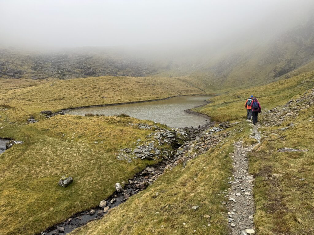
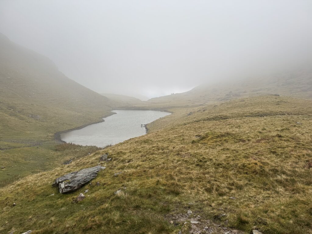
By this point, we were pretty much in the clouds. It gave the mountains a completely different atmosphere to the previous walks I had completed on the peninsula. Derrymore Lough itself felt very isolated, sitting beneath the surrounding slopes with much of the higher mountain hidden from view.
On a clear day, I imagine it would be a lovely place to stop for a while. On this occasion, though, while we did stop, it was to consider our options rather than to admire the views.
Should We Turn Back?
Before starting the climb above Derrymore Lough, we stopped to discuss whether we should continue at all. Visibility had deteriorated significantly. The upper mountain was completely hidden in cloud and there was no obvious path ahead.
Given that Denis had previously reached roughly this point with another group and turned around because of the weather, it seemed like a sensible moment to reassess things.
I asked him whether the conditions we were facing were better or worse than they had been that day. Denis was a bit coy about giving me a straight answer. I don’t think he wanted to influence the decision too much.
We talked it through and eventually decided to continue. All three of us were experienced and comfortable navigating in very poor visibility. The GPS navigation was working well and we had the paper maps and compass needed to keep checking our position.
Important: The section above Derrymore Lough crosses open mountain terrain with no defined trail. In poor visibility, navigation can become extremely difficult. You should carry appropriate navigation equipment, know how to use it.
Check the weather forecast before setting out and be prepared to turn back if conditions deteriorate. If you are not confident navigating away from a marked trail in poor visibility, continuing beyond this point would not be advisable in conditions like those we experienced.
Steepest Climb of the Caherconree and Baurtregaum Loop
From Derrymore Lough, there was no obvious path towards the ridge. We turned right (west) and pretty much went straight up. Visibility quickly became almost non-existent. At times, we could see little more than 20m in front of us and even then not clearly.
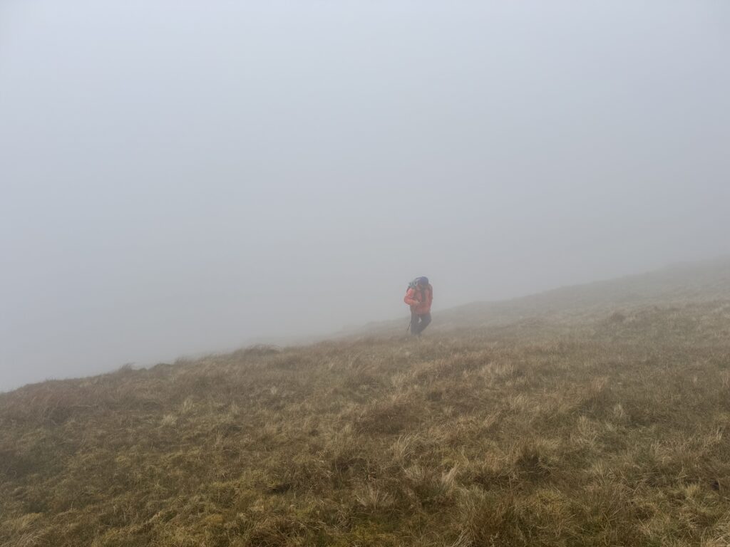
Progress proved slow. However, it was still progress. We continued checking our position as we went. It took us roughly 40 minutes to reach the upper ridge.
Forty minutes of hardship, to be honest about it. The climb was relentlessly steep and I could definitely feel the burn in my legs as we moved up. We were simply working our way upwards through the cloud and waiting for the ground to finally start levelling out…Eventually, it did.
Onto the Ridge
Reaching the ridge brought some relief from the steep climb. Unfortunately, it immediately introduced another problem.
The wind.
It was absolutely whipping across the ridge and at times felt strong enough to knock you off balance.
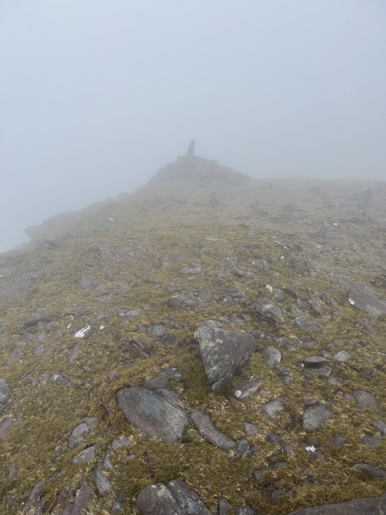
Thankfully, this is a broad ridge rather than a narrow exposed ledge, so although the conditions were very uncomfortable, it still felt safe. It remained tough going, but the wind gradually became less of a factor as we arced around towards the summit of Caherconree. Visibility remained poor throughout. Eventually, the summit of Caherconree emerged from the cloud in front of us.
Caherconree Promontory Fort
One thing we didn’t do during this walk was make the detour to Caherconree Promontory Fort.
Given the weather, it didn’t seem sensible to add additional distance when visibility was already so poor. It was a pity, though, because the fort is one of the most interesting features associated with the mountain. The actual physical feature is meant to be impressive. The links to Irish mythology also make it worth a visit.
According to legend, the Irish princess Bláthnat was kidnapped and taken to Cú Roí’s fortress (or Caherconree as it’s known today). Bláthnat later conspired with the hero Cú Chulainn to betray Cú Roí, using milk poured into a stream as the signal that the time was right to attack the fortress.
A stream whose source is close to the fort is still known as the Finglas River today. The name comes from the Irish Fhionnghlaise meaning ‘the white stream’.
In the conditions we had, we were happy enough skipping the fort on this occasion and we kept moving towards Baurtregaum.
Caherconree to Baurtregaum
From Caherconree, the route became much simpler. We followed the broad ridge in an anti-clockwise direction across the high ground towards Baurtregaum.
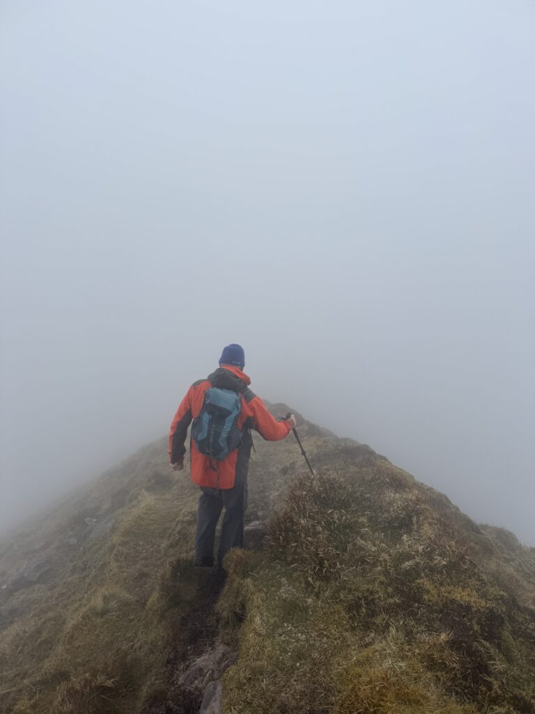
There were no major technical difficulties along this section, although the cloud stayed with us throughout. Most of the time, we could only see the ridge immediately around us. We needed a bit of concentration to make sure we continued on the correct line. However, after the effort required to reach Caherconree, this section felt much more manageable.
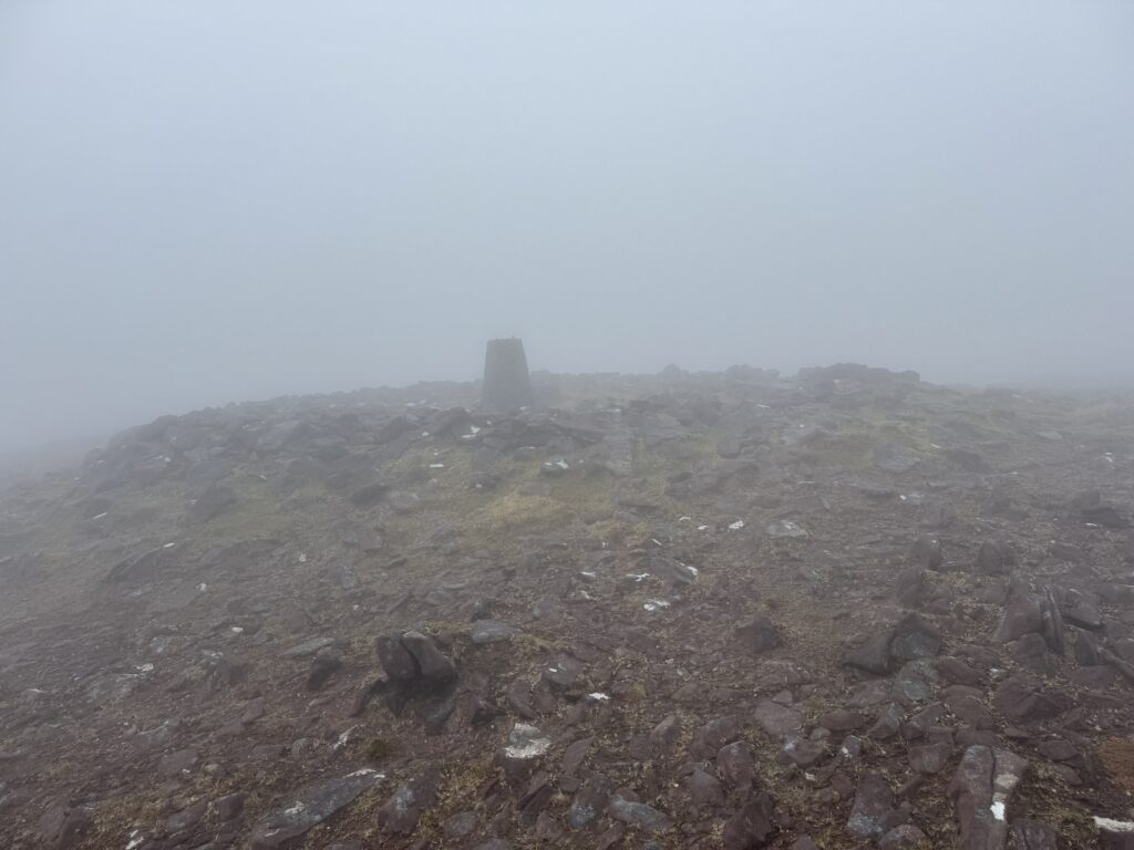
Eventually, the summit marker of Baurtregaum appeared out of the mist. At 851 metres, Baurtregaum is the highest mountain in the Slieve Mish range.
Unfortunately, we didn’t get to enjoy any of the views that normally come with that height. The cloud was still wrapped tightly around the summit and there wasn’t much reason to hang around for long. After a short stop, we began the descent.
Descending from Baurtregaum
About 15 minutes after leaving the summit, we reached one of the trickier sections of the descent. Just after Baurtregaum North East Top (819m), we came across a section where the ground became much steeper and rockier. Again, we had no obvious trail to follow. As such, we had to pick our way carefully down through the broken ground.
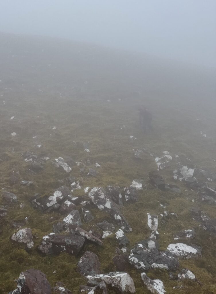
We were off the ridge now and the terrain opened out again. For the next 20 minutes or so, we made our way across a broad, rock-strewn expanse of open mountain.
There still wasn’t much of a trail to follow, and the cloud continued to restrict how far ahead we could see.
Eventually, the terrain began to change again. We started to hit thicker gorse and vegetation and began dropping more noticeably downhill.
And then, finally, something very welcome happened. We got underneath the cloud.
Finally, We Could See Again
Very shortly after starting the main descent, the landscape suddenly opened up beneath us. For the first time in quite a while, we could actually see where we were going.
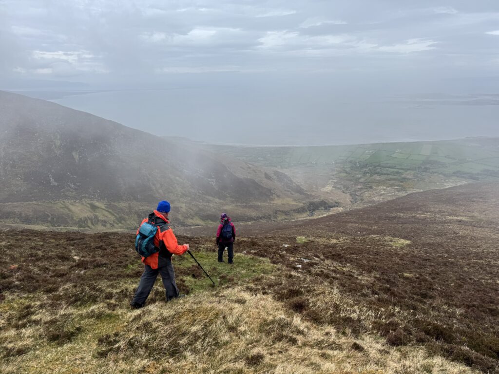
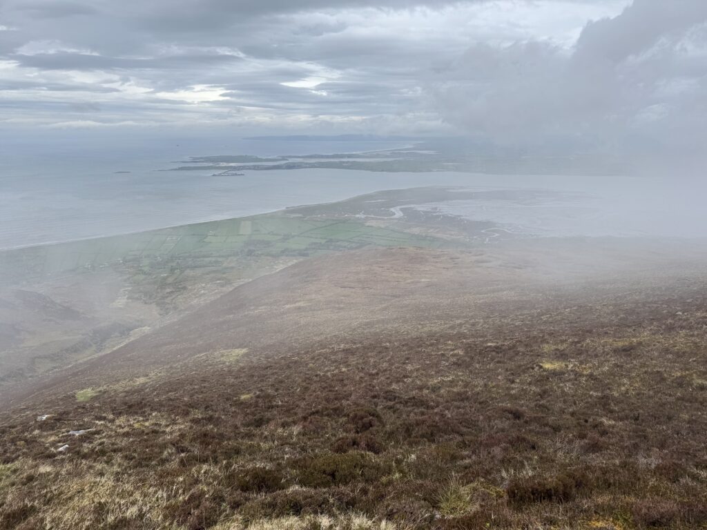
It was a relief. And also nice to have some proper views at last. The valley, coastline and lower slopes all started to stretch out in front of us. After spending so much time staring into mist, it felt great simply to be able to look around again.
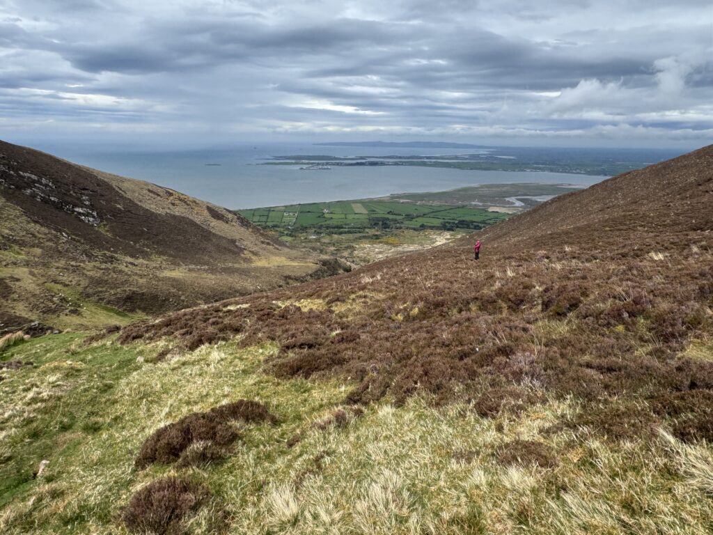
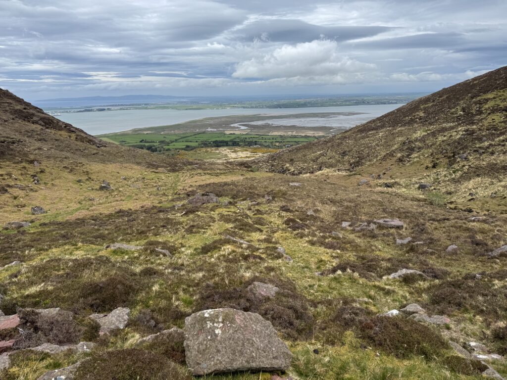
The descent itself was still far from straightforward. The gorse and heather became quite thick in places and we had to push our way through it. Any greener patches of ground that looked inviting from above often turned out to be wet and slippery.
It became a case of picking the best line we could, avoiding the worst of the vegetation and being careful on the wetter sections.
Crossing the River
As we got lower, we started looking for the best place to cross the river. This would be the last tricky part of the Caherconree and Baurtregaum loop hike.
We picked out a point where the crossing looked manageable and, just as importantly, where it looked like we would have a reasonable route back onto the higher shelf on the opposite side of the river.
We aimed for that spot as we descended. Thankfully, the crossing itself turned out to be straightforward enough. There were actually a couple of possible options, with rocks allowing us to make our way across without too much difficulty.
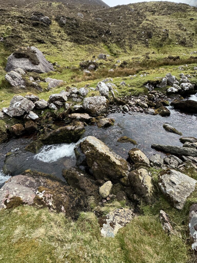
Getting back onto the higher shelf on the far side wasn’t particularly difficult either. From there we were then back on the same trail we had followed into Derrymore Glen earlier that morning. This time we were heading out of the valley.
The Walk Back Through Derrymore Glen
Denis and Catríona stopped for their sandwiches shortly after we crossed the river. I decided to keep going. Paula and Joe were back in Dingle and, after a long morning on the mountain, I wanted to get back to them and see how the trip to the aquarium went. So I said my goodbyes and started to race homewards.
I retraced the familiar route back through Derrymore Glen, towards the Kerry Camino. At the Kerry Camino, I had one final encounter before finishing.
A Pretty Cool Achievement
As I neared the end of the walk, I bumped into two American women who were hiking the Kerry Camino.
We stopped and chatted for a few minutes. They asked what hike I had been doing that day.
I pointed behind me towards the mountains rising into the clouds and explained that I had been up there, crossing Caherconree and Baurtregaum.
They seemed genuinely impressed. Maybe it was just a bit of American enthusiasm, but it made me stop and think about the day slightly differently.
The conditions had been difficult. Visibility had been almost non-existent at times. The climb from Derrymore Lough had been relentless. The wind on the ridge had been fierce. We had even seriously discussed turning back.
But we had made sensible decisions, navigated carefully and completed the loop safely. Looking back at those mountains disappearing into the clouds, it did feel like a pretty cool achievement.
Not quite the clear-sky finale I had imagined for my Dingle Peninsula hikes. But a memorable one nonetheless.